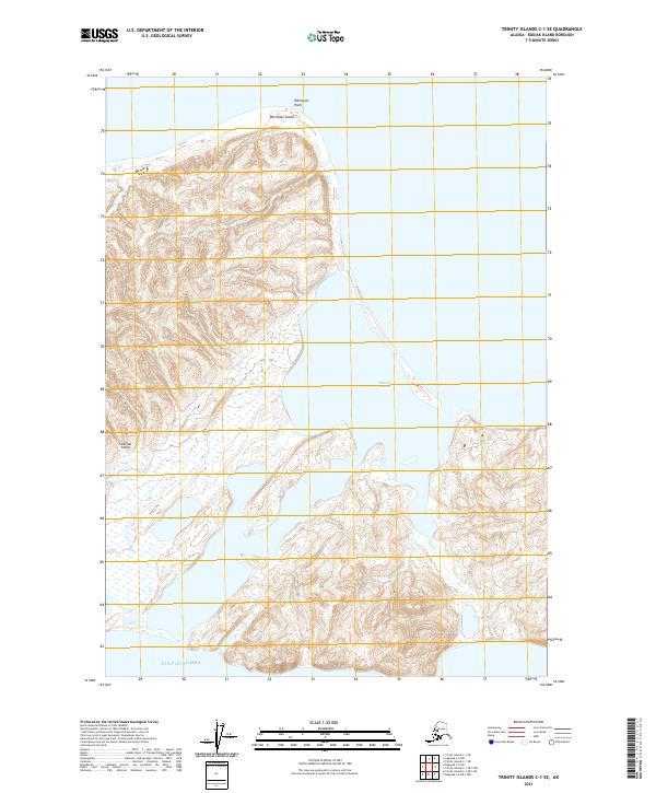
2021 Map of Trinity Islands C-1 SE
USGS Topo · Published 2021About this map
Sitkinak Island dominates this maritime study, showcasing a remote Alaskan landscape defined by the shifting boundaries of land and sea. On the northern coast, the hazardous waters of Whirlpool Shoals and Whirlpool Point indicate a dynamic coastal environment where powerful currents meet the island's edge. The interior is marked by significant elevation changes, punctuated by Mark Lake, which sits tucked within the western hills. Along the eastern shore, the sheltered waters of Sitkinak Lagoon provide a stark contrast to the open expanse of the Gulf of Alaska to the south. This 2021 survey documents the topography of the island's southern and central reaches, detailing the complex drainage patterns and coastal features essential for maritime navigation and land management within the Kodiak Island Borough.
Find a feature on this map
9 named features on this map. Tap any name to fly to it.
Don’t see what you’re looking for? This feature index may not catch every label — zoom into the map to look around manually.
Map Details
Editions of this 2021 Trinity Islands C-1 SE Map
This is the sole edition of this map. No revisions or reprints were ever made.
Other maps of this area

1951 · Kaguyak
USGS Topo · 1:250,000

1951 · Trinity Islands
USGS Topo · 1:250,000

1952 · Kaguyak
USGS Topo · 1:250,000

1952 · Trinity Islands C-1
USGS Topo · 1:63,360

1954 · Trinity Islands C-1
USGS Topo · 1:63,360
1954 · Kaguyak C-6
USGS Topo · 1:63,360

1954 · Trinity Islands
USGS Topo · 1:250,000
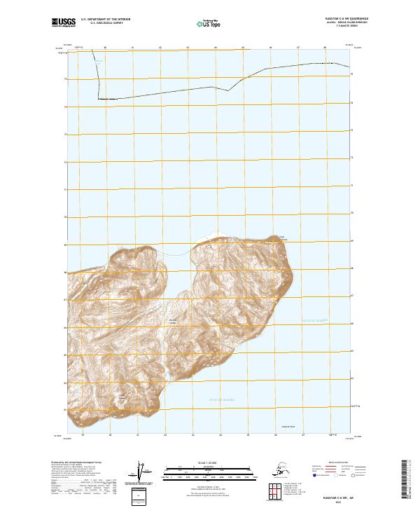
2021 · Kaguyak C-6 SW
USGS Topo · 1:25,000
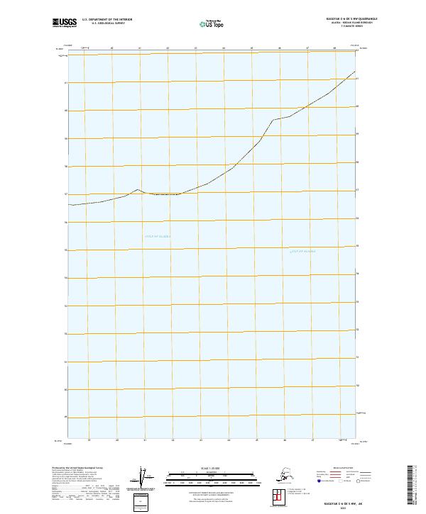
2021 · Kaguyak C-6 OE S NW
USGS Topo · 1:25,000
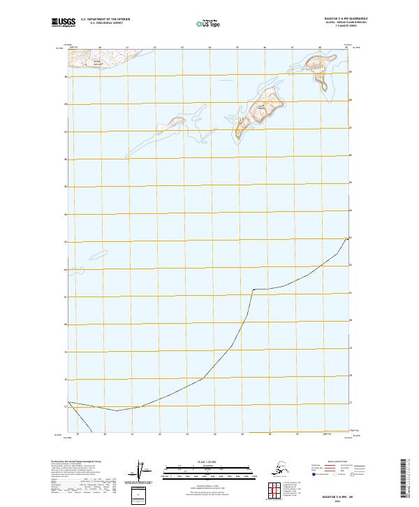
2021 · Kaguyak C-6 NW
USGS Topo · 1:25,000