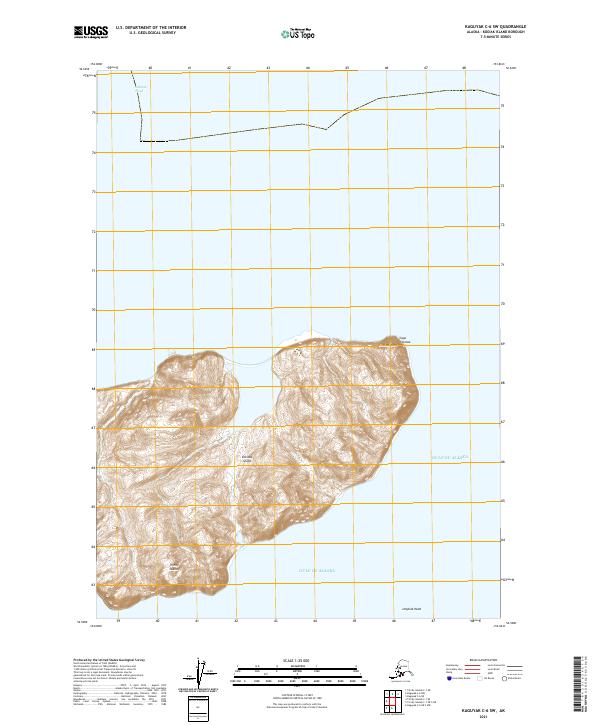
2021 Map of Kaguyak C-6 SW
USGS Topo · Published 2021About this map
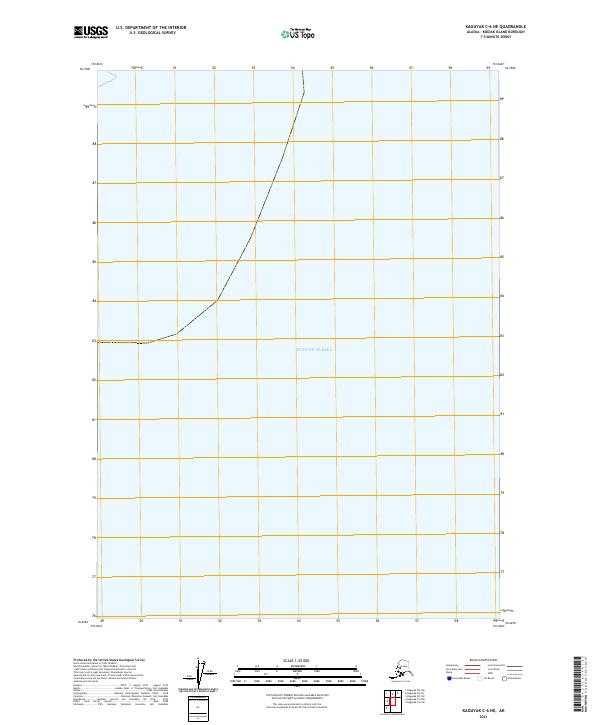
Sitkinak Island, part of the southern Trinity Islands chain, dominates this maritime survey of the Kodiak Island Borough. The island is defined by its dramatic coastal landmarks, including Sitkinak Head and Cape Sitkinak along the northern shore. Separated from the mainland by the Sitkinak Strait, the landform is characterized by intricate contour patterns that reveal a series of coastal ridges and low-lying interior basins. To the south, the coastline terminates at Ungalak Head, where the land meets the open Gulf of Alaska. This topographical record documents the precise shoreline and elevation of this remote archipelago as it appeared in the early twenty-first century, offering a clear view of the island's natural geography and its exposure to the North Pacific.
Find a feature on this map
9 named features on this map. Tap any name to fly to it.
Don’t see what you’re looking for? This feature index may not catch every label — zoom into the map to look around manually.
Map Details
Editions of this 2021 Kaguyak C-6 SW Map
This is the sole edition of this map. No revisions or reprints were ever made.
Other maps of this area

1951 · Kaguyak
USGS Topo · 1:250,000

1951 · Trinity Islands
USGS Topo · 1:250,000

1952 · Kaguyak
USGS Topo · 1:250,000

1952 · Trinity Islands C-1
USGS Topo · 1:63,360

1954 · Trinity Islands C-1
USGS Topo · 1:63,360
1954 · Kaguyak C-6
USGS Topo · 1:63,360

1954 · Trinity Islands
USGS Topo · 1:250,000
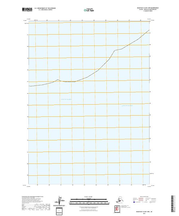
2021 · Kaguyak C-6 OE S NW
USGS Topo · 1:25,000
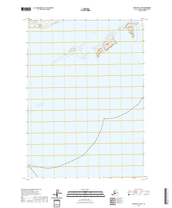
2021 · Kaguyak C-6 NW
USGS Topo · 1:25,000
2021 · Kaguyak C-6 NE
USGS Topo · 1:25,000