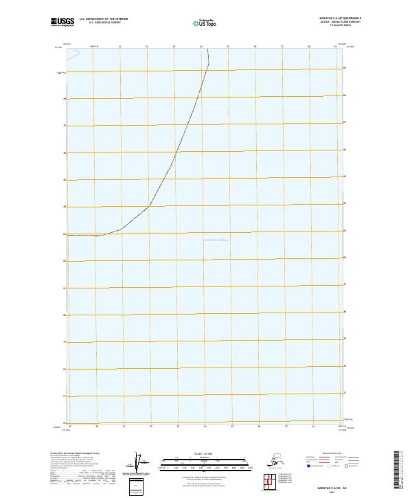
2021 Map of Kaguyak C-6 NE
USGS Topo · Published 2021About this map
The vast expanse of the Gulf of Alaska dominates this coastal survey, which documents a sparsely defined section of Kodiak Island. While the map is characterized by its open water and lack of terrestrial landmarks, it provides precise public land survey system data for maritime and coastal navigation. The demarcations for t39s r29w, t39s r28w, and t40s r29w overlay the marine environment, offering a structural grid for an area where land meets the open sea. This edition reflects the contemporary topographic standards of the U.S. Geological Survey, serving as a specialized record of the shoreline's position in the early twenty-first century.
Find a feature on this map
4 named features on this map. Tap any name to fly to it.
Don’t see what you’re looking for? This feature index may not catch every label — zoom into the map to look around manually.
Map Details
Editions of this 2021 Kaguyak C-6 NE Map
This is the sole edition of this map. No revisions or reprints were ever made.
Other maps of this area

1951 · Kaguyak
USGS Topo · 1:250,000

1952 · Kaguyak
USGS Topo · 1:250,000

1952 · Kaguyak D-5
USGS Topo · 1:63,360

1952 · Kaguyak D-6
USGS Topo · 1:63,360
1954 · Kaguyak D-5
USGS Topo · 1:63,360
1954 · Kaguyak C-6
USGS Topo · 1:63,360
1954 · Kaguyak D-6
USGS Topo · 1:63,360
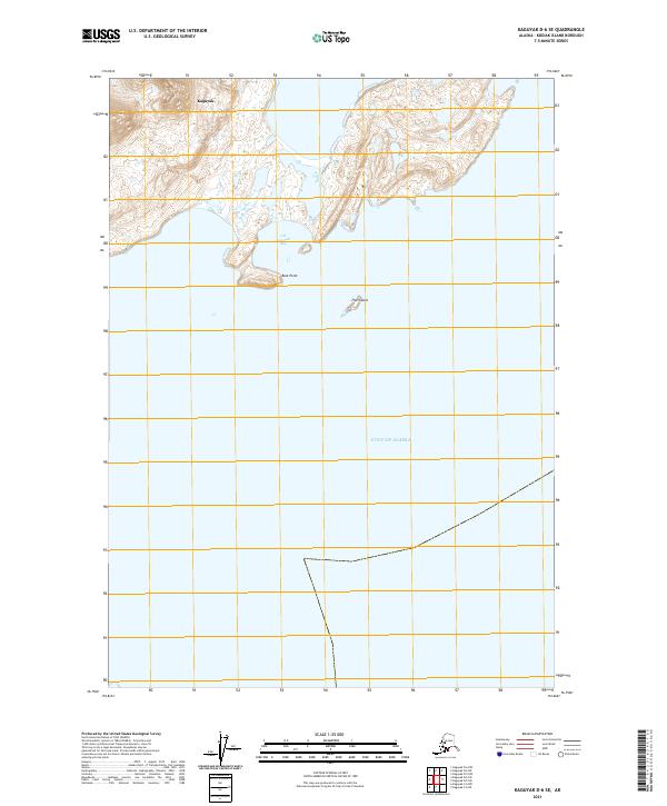
2021 · Kaguyak D-6 SE
USGS Topo · 1:25,000
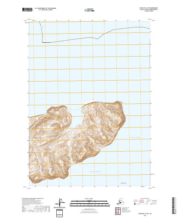
2021 · Kaguyak C-6 SW
USGS Topo · 1:25,000
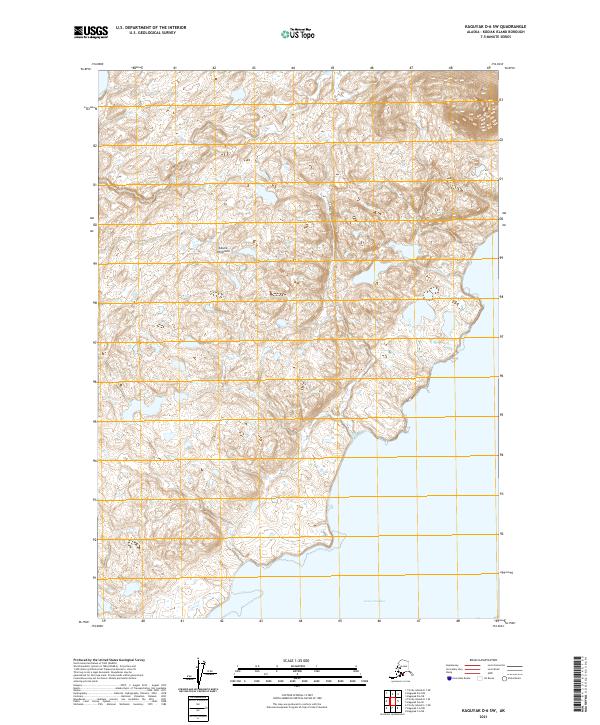
2021 · Kaguyak D-6 SW
USGS Topo · 1:25,000