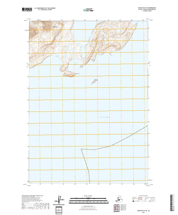
2021 Map of Kaguyak D-6 SE
USGS Topo · Published 2021About this map
Kaguyak sits on the southern reaches of Kodiak Island, fronting the intricate shoreline of the Gulf of Alaska. This 2021 survey documents the coastal interface where the rugged island interior meets the sea at Old Kaguyak Bay. The terrain is characterized by complex hydrography and prominent coastal landmarks, including the distinctively named Boot Point and the isolated Flat Island just offshore. The map provides a contemporary record of this remote Alaskan settlement area, reflecting the natural geography and current boundary lines of the Kodiak Island Borough. Researchers interested in the evolving coastline of the North Pacific will find the detailed topographic contours and shoreline labels essential for tracking geographical shifts and local navigation points in this maritime environment.
Find a feature on this map
9 named features on this map. Tap any name to fly to it.
Don’t see what you’re looking for? This feature index may not catch every label — zoom into the map to look around manually.
Map Details
Editions of this 2021 Kaguyak D-6 SE Map
This is the sole edition of this map. No revisions or reprints were ever made.
Other maps of this area

1951 · Kaguyak
USGS Topo · 1:250,000

1952 · Kaguyak
USGS Topo · 1:250,000

1952 · Kaguyak D-5
USGS Topo · 1:63,360

1952 · Kaguyak D-6
USGS Topo · 1:63,360
1954 · Kaguyak D-5
USGS Topo · 1:63,360
1954 · Kaguyak C-6
USGS Topo · 1:63,360
1954 · Kaguyak D-6
USGS Topo · 1:63,360
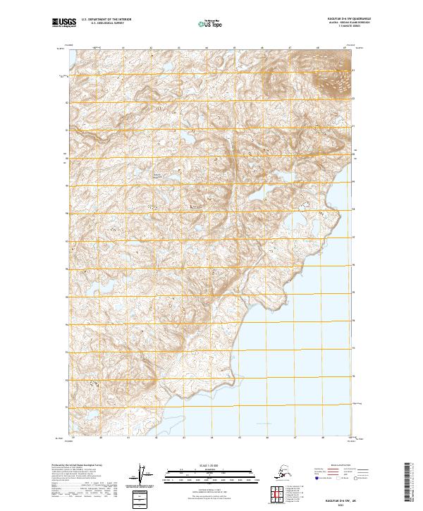
2021 · Kaguyak D-6 SW
USGS Topo · 1:25,000
2021 · Kaguyak D-5 SW
USGS Topo · 1:25,000
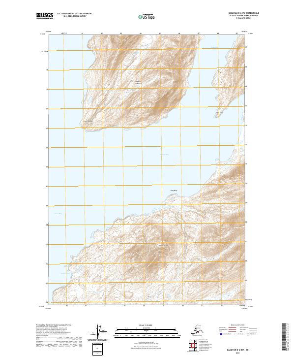
2021 · Kaguyak D-6 NW
USGS Topo · 1:25,000