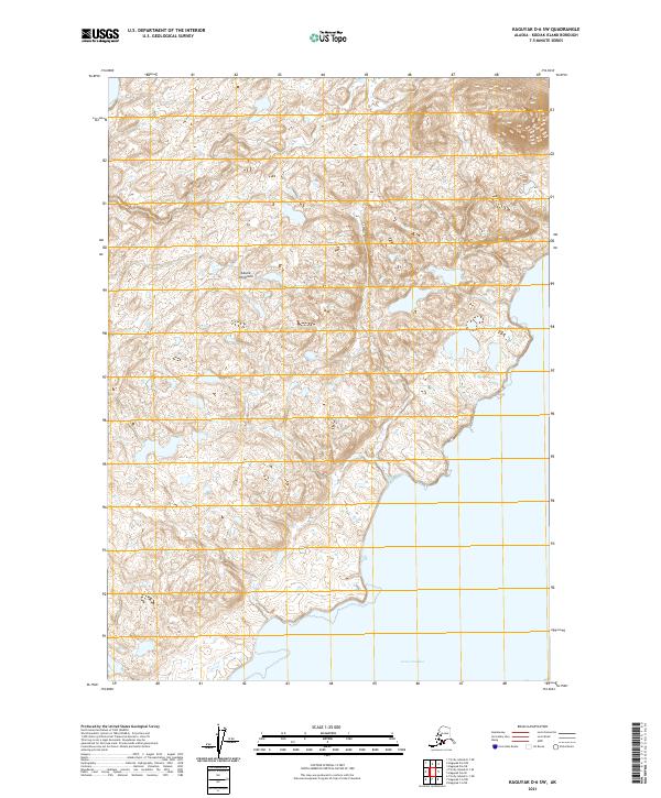
2021 Map of Kaguyak D-6 SW
USGS Topo · Published 2021About this map
The Aliulik Peninsula defines the southern extent of this 2021 topographic study, where the land gives way to the protected waters of Geese Channel. This portion of Kodiak Island remains largely undeveloped, characterized by its intricate shoreline and high-density contour intervals that trace the rising coastal terrain. The map provides precise Public Land Survey System boundaries, specifically marking the transition between townships t38s r30w, t38s r29w, t39s r30w, and t39s r29w. For those researching the environmental history of the region, the survey documents extensive wetland areas and hydrographic data that illustrate the complex drainage patterns and coastal landforms typical of this remote island landscape.
Find a feature on this map
6 named features on this map. Tap any name to fly to it.
Don’t see what you’re looking for? This feature index may not catch every label — zoom into the map to look around manually.
Map Details
Editions of this 2021 Kaguyak D-6 SW Map
This is the sole edition of this map. No revisions or reprints were ever made.
Other maps of this area

1951 · Kaguyak
USGS Topo · 1:250,000

1951 · Trinity Islands
USGS Topo · 1:250,000

1952 · Kaguyak
USGS Topo · 1:250,000

1952 · Trinity Islands D-1
USGS Topo · 1:63,360

1952 · Kaguyak D-6
USGS Topo · 1:63,360

1952 · Trinity Islands C-1
USGS Topo · 1:63,360

1954 · Trinity Islands C-1
USGS Topo · 1:63,360
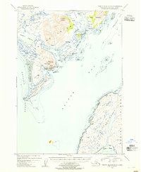
1954 · Trinity Islands D-1
USGS Topo · 1:63,360
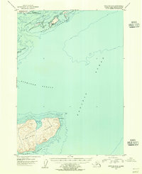
1954 · Kaguyak C-6
USGS Topo · 1:63,360
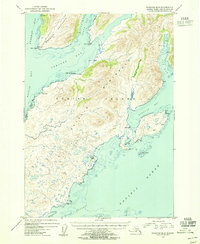
1954 · Kaguyak D-6
USGS Topo · 1:63,360