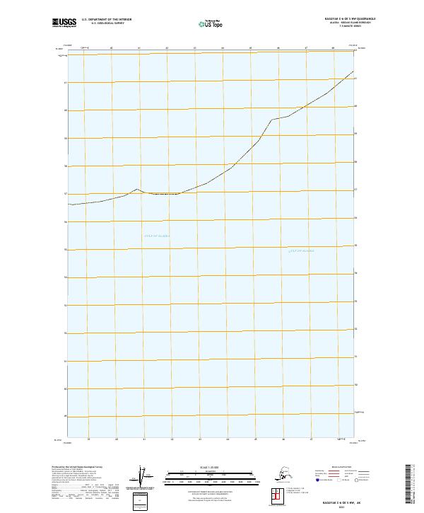
2021 Map of Kaguyak C-6 OE S NW
USGS Topo · Published 2021About this map
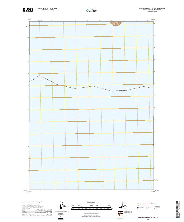
The Gulf of Alaska dominates this maritime survey off the southern coast of Kodiak Island. This map represents a predominantly open-water expanse, documenting the hydrographic environment as it appeared in the early 21st century. The map is defined by the public land survey system grid, specifically portions of T42s R30w and T42s R29w. Without terrestrial landmarks or coastal structures, the sheet serves as a record of the precise coordinate locations and township boundaries within the gulf, illustrating the offshore extent of these cadastral divisions in Alaska’s maritime territory.
Find a feature on this map
9 named features on this map. Tap any name to fly to it.
Don’t see what you’re looking for? This feature index may not catch every label — zoom into the map to look around manually.
Map Details
Editions of this 2021 Kaguyak C-6 OE S NW Map
This is the sole edition of this map. No revisions or reprints were ever made.
Other maps of this area

1951 · Kaguyak
USGS Topo · 1:250,000

1951 · Trinity Islands
USGS Topo · 1:250,000

1952 · Kaguyak
USGS Topo · 1:250,000

1952 · Trinity Islands C-1
USGS Topo · 1:63,360

1954 · Trinity Islands C-1
USGS Topo · 1:63,360
1954 · Kaguyak C-6
USGS Topo · 1:63,360

1954 · Trinity Islands
USGS Topo · 1:250,000
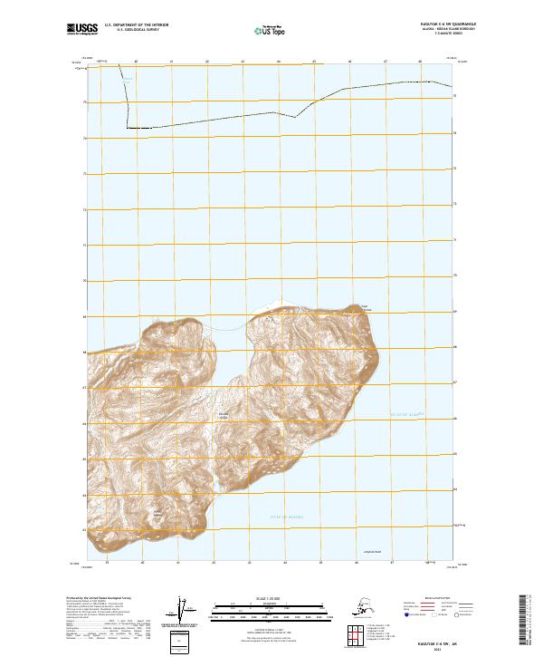
2021 · Kaguyak C-6 SW
USGS Topo · 1:25,000
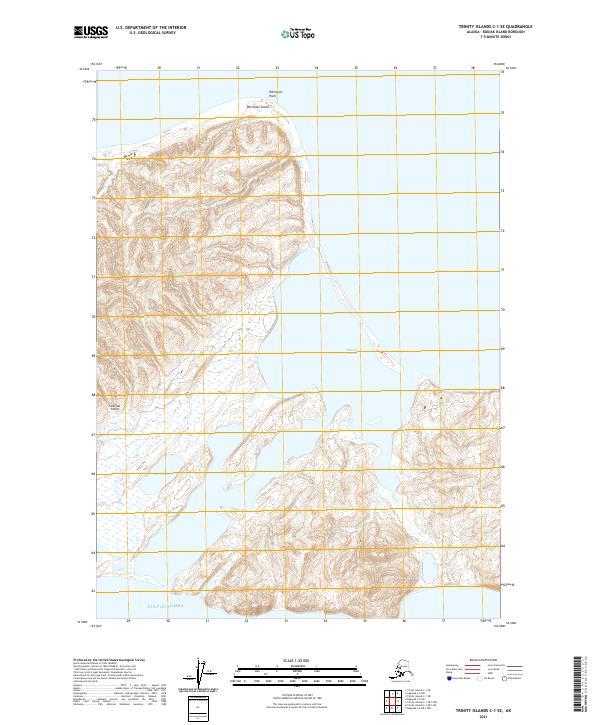
2021 · Trinity Islands C-1 SE
USGS Topo · 1:25,000
2021 · Trinity Islands C-1 OE S NE
USGS Topo · 1:25,000