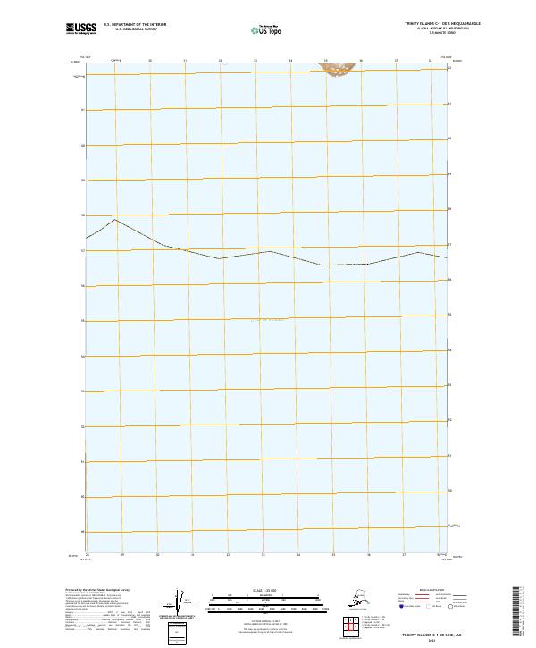
2021 Map of Trinity Islands C-1 OE S NE
USGS Topo · Published 2021About this map
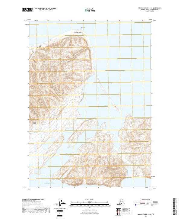
The Gulf of Alaska dominates this 2021 study of a coastal stretch within the Kodiak Island Borough. This specific area of the Trinity Islands is largely maritime, defined by open waters and the precise grid boundaries of the Public Land Survey System, specifically t42s r31w and t42s r30w. The map depicts a nearly feature-sparse coastline where the landmass only barely enters the northern margin, emphasizing the isolation of this corner of the archipelago. Researchers focusing on coastal navigation or the administrative division of Alaskan maritime territories will find the exact coordinates and topographic contours of the few visible land features valuable for identifying the relationship between the island group and the surrounding gulf.
Find a feature on this map
3 named features on this map. Tap any name to fly to it.
Don’t see what you’re looking for? This feature index may not catch every label — zoom into the map to look around manually.
Map Details
Editions of this 2021 Trinity Islands C-1 OE S NE Map
This is the sole edition of this map. No revisions or reprints were ever made.
Other maps of this area

1951 · Kaguyak
USGS Topo · 1:250,000

1951 · Trinity Islands
USGS Topo · 1:250,000

1952 · Kaguyak
USGS Topo · 1:250,000

1952 · Trinity Islands C-1
USGS Topo · 1:63,360

1954 · Trinity Islands C-1
USGS Topo · 1:63,360
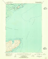
1954 · Kaguyak C-6
USGS Topo · 1:63,360

1954 · Trinity Islands
USGS Topo · 1:250,000
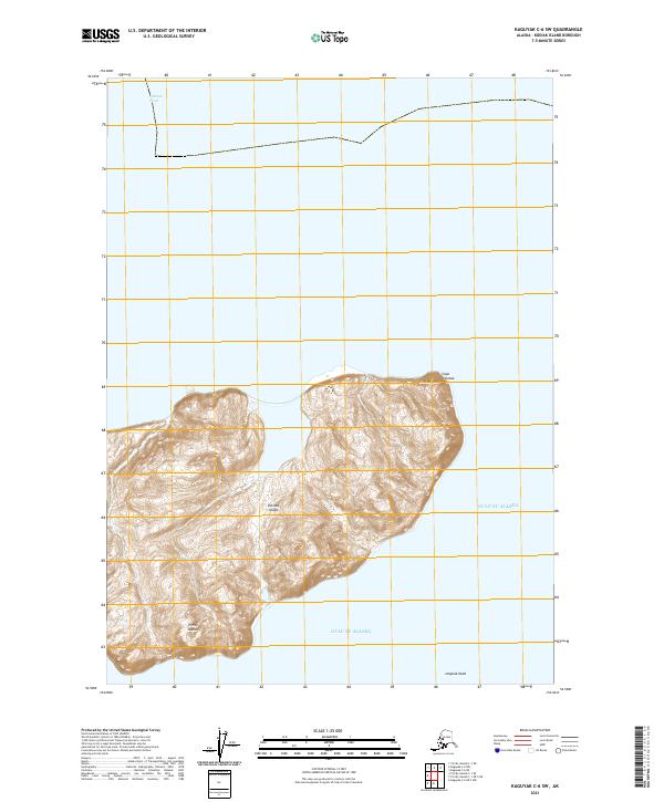
2021 · Kaguyak C-6 SW
USGS Topo · 1:25,000
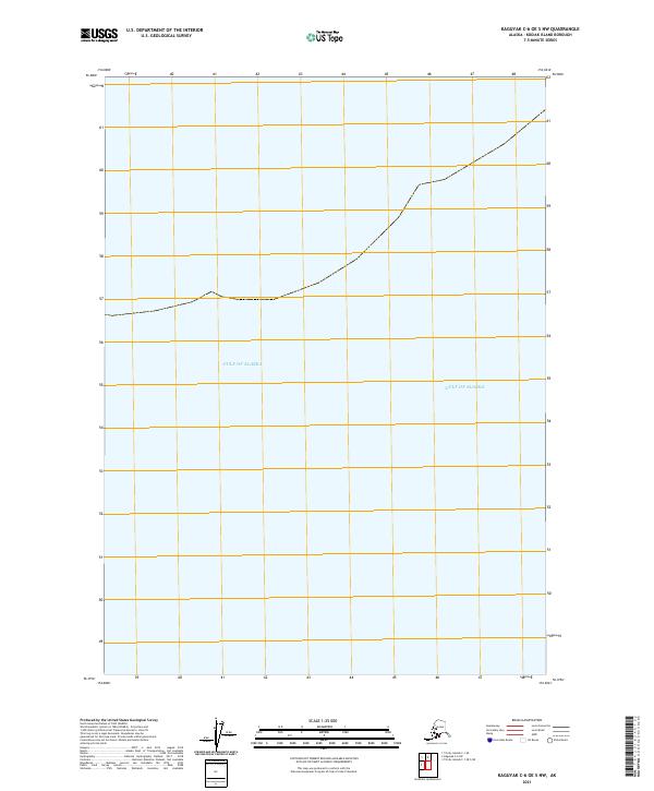
2021 · Kaguyak C-6 OE S NW
USGS Topo · 1:25,000
2021 · Trinity Islands C-1 SE
USGS Topo · 1:25,000