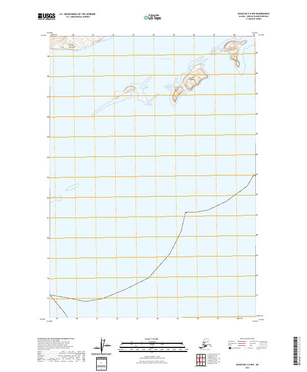
2021 Map of Kaguyak C-6 NW
USGS Topo · Published 2021About this map
Aliulik Peninsula defines the northern coastline of this maritime landscape on the southern reaches of Kodiak Island. The map focuses on the coastal interface where the peninsula meets the Geese Channel, a narrow passage of water separating the mainland landmass from the scattered Geese Islands. The topography is predominantly defined by the sea, with land appearing only as finger-like extensions and small islands in the upper portion of the survey. This 2021 edition provides a clear view of the modern shoreline and maritime boundaries, illustrating the sparse but distinct landforms that characterize this remote coastal environment. The survey is organized within the public land survey system, spanning t39s r30w, t39s r29w, t40s r29w, and t40s r30w.
Find a feature on this map
7 named features on this map. Tap any name to fly to it.
Don’t see what you’re looking for? This feature index may not catch every label — zoom into the map to look around manually.
Map Details
Editions of this 2021 Kaguyak C-6 NW Map
This is the sole edition of this map. No revisions or reprints were ever made.
Other maps of this area

1951 · Kaguyak
USGS Topo · 1:250,000

1951 · Trinity Islands
USGS Topo · 1:250,000

1952 · Kaguyak
USGS Topo · 1:250,000

1952 · Trinity Islands D-1
USGS Topo · 1:63,360

1952 · Kaguyak D-6
USGS Topo · 1:63,360

1952 · Trinity Islands C-1
USGS Topo · 1:63,360

1954 · Trinity Islands C-1
USGS Topo · 1:63,360
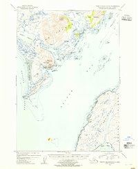
1954 · Trinity Islands D-1
USGS Topo · 1:63,360
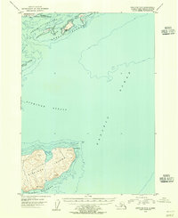
1954 · Kaguyak C-6
USGS Topo · 1:63,360
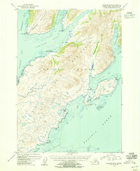
1954 · Kaguyak D-6
USGS Topo · 1:63,360