
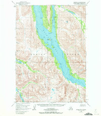
1952 Map of Kodiak B-6
USGS Topo · Published 1965About this map
Uyak Bay and the central corridor of Amook Island dominate this coastal landscape within the Kodiak National Wildlife Refuge. The 1952 field survey documents a maritime and resource-based economy where early aviation and mining intersect. A Seaplane Base is positioned on the western shore of Amook Bay, serving as a critical transport link for the remote camps and industrial sites scattered throughout the terrain. Traces of human activity are evident in the Mine (Aband) and various Ruins near Fork 2, reflecting the cycles of extraction and abandonment common to the region's history.
Find a feature on this map
40 named features on this map. Tap any name to fly to it.
Don’t see what you’re looking for? This feature index may not catch every label — zoom into the map to look around manually.
Map Details
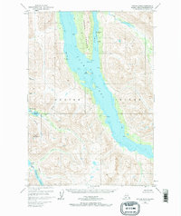
Editions of this 1952 Kodiak B-6 Map
3 editions found
Other maps of this area

1951 · Karluk
USGS Topo · 1:250,000

1952 · Kodiak
USGS Topo · 1:250,000

1952 · Karluk
USGS Topo · 1:250,000

1952 · Karluk B-1
USGS Topo · 1:63,360

1952 · Kodiak C-5
USGS Topo · 1:63,360

1952 · Kodiak B-5
USGS Topo · 1:63,360

1952 · Karluk C-1
USGS Topo · 1:63,360

1952 · Kodiak C-6
USGS Topo · 1:63,360

1952 · Karluk A-1
USGS Topo · 1:63,360

1952 · Kodiak A-6
USGS Topo · 1:63,360