
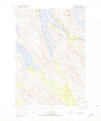
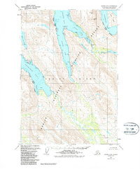
1952 Map of Kodiak C-5
USGS Topo · Published 1966About this map
The Kodiak National Wildlife Refuge encompasses this entire coastal wilderness on Kodiak Island, where deep glacial fjords carve into the high interior peaks. This 1952 survey shows the intricate marine environment of Uganik Bay, including the South Arm and East Arm, which are defined by sharp coastal features like Packers Spit and Mink Pt. The map documents a landscape before significant modern human infrastructure, focusing instead on the hydrography of the shoreline and the complex freshwater systems of the interior.
Find a feature on this map
22 named features on this map. Tap any name to fly to it.
Don’t see what you’re looking for? This feature index may not catch every label — zoom into the map to look around manually.
Map Details
Editions of this 1952 Kodiak C-5 Map
3 editions found
Other maps of this area

1951 · Kodiak D-6
USGS Topo · 1:63,360

1952 · Kodiak
USGS Topo · 1:250,000

1952 · Kodiak B-6
USGS Topo · 1:63,360

1952 · Kodiak C-4
USGS Topo · 1:63,360

1952 · Kodiak D-5
USGS Topo · 1:63,360

1952 · Kodiak B-5
USGS Topo · 1:63,360

1952 · Kodiak C-6
USGS Topo · 1:63,360

1952 · Kodiak D-4
USGS Topo · 1:63,360

1952 · Kodiak B-4
USGS Topo · 1:63,360
1954 · Kodiak C-6
USGS Topo · 1:63,360