
1952 Map of Kodiak D-5
USGS Topo · Published 1966About this map
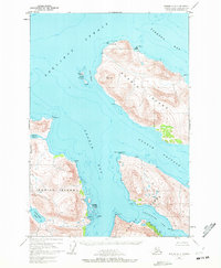
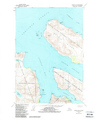
Uganik Bay and the surrounding coastline of the Kodiak National Wildlife Refuge are documented in this 1950s era survey. This maritime landscape is defined by the narrow waters of Uganik Passage and Noisy Passage, separating the large mass of Uganik Island from the main body of Kodiak Island. Local industry and transit are evident at the Village Islands, where a Cannery and Seaplane Base served as vital connections for this coastal community. The map details the complex shoreline from Cape Uganik in the north to the Northeast Arm, showing several isolated Cabin sites and significant coastal landmarks like Horseshoe Spit and Mesa Rocks. Inland, the terrain rises sharply from the Shelikof Strait to prominent heights, with Little River Lake and Montana Cr providing freshwater drainage into the salt lagoons.
Find a feature on this map
35 named features on this map. Tap any name to fly to it.
Don’t see what you’re looking for? This feature index may not catch every label — zoom into the map to look around manually.
Map Details
Editions of this 1952 Kodiak D-5 Map
3 editions found
Other maps of this area

1951 · Kodiak D-6
USGS Topo · 1:63,360

1952 · Kodiak
USGS Topo · 1:250,000

1952 · Afognak
USGS Topo · 1:250,000

1952 · Afognak A-4
USGS Topo · 1:63,360

1952 · Kodiak C-4
USGS Topo · 1:63,360

1952 · Kodiak C-5
USGS Topo · 1:63,360

1952 · Kodiak C-6
USGS Topo · 1:63,360
1952 · Afognak A-5
USGS Topo · 1:63,360

1952 · Kodiak D-4
USGS Topo · 1:63,360

1953 · Afognak A-4
USGS Topo · 1:63,360