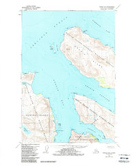
1952 Map of Kodiak D-5
USGS Topo · Published 1988About this map
Kodiak Island National Wildlife Refuge dominates this mid-century coastline, reflecting a landscape defined by federal preservation and the rhythms of the sea. The geography is characterized by deep fjords and inlets, most notably the wide reach of Uganik Bay and the narrow Uganik Passage that separates large landmasses. The presence of the Village Islands and various coastal markers like Starr Pt and Cape Uganik suggests a reliance on maritime navigation for movement across this roadless terrain. Inland, features like Little River Lake and Campbell Lagoon break the mountainous interior, illustrating the complex hydrology of Kodiak Island before later modern developments. This survey captures the remote character of the Aleutian Range foothills and the intricate shoreline of the Shelikof Strait.
Find a feature on this map
21 named features on this map. Tap any name to fly to it.
Don’t see what you’re looking for? This feature index may not catch every label — zoom into the map to look around manually.
Map Details
Editions of this 1952 Kodiak D-5 Map
3 editions found
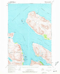
Other maps of this area

1951 · Kodiak D-6
USGS Topo · 1:63,360

1952 · Kodiak
USGS Topo · 1:250,000

1952 · Afognak
USGS Topo · 1:250,000

1952 · Afognak A-4
USGS Topo · 1:63,360

1952 · Kodiak C-4
USGS Topo · 1:63,360

1952 · Kodiak C-5
USGS Topo · 1:63,360

1952 · Kodiak D-5
USGS Topo · 1:63,360

1952 · Kodiak C-6
USGS Topo · 1:63,360
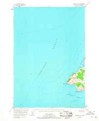
1952 · Afognak A-5
USGS Topo · 1:63,360

1952 · Kodiak D-4
USGS Topo · 1:63,360