
1952 Map of Afognak
USGS Topo · Published 1953About this map
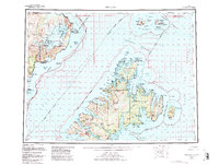
Katmai National Monument dominates the western coastline of the Shelikof Strait in this early 1950s survey, featuring the ice-capped Mt Douglas and the Spotted Glacier. Across the water, the sprawling landscape of Afognak and Shuyak Islands reveals a rugged coastal economy defined by isolated outposts. Several small maritime settlements are identified, including Port William and Port Vita, alongside a dedicated Hatchery and Lighthouse marking the entrance to the strait. To the south, Raspberry Island hosts the community of Port Wakefield, illustrating the scattered nature of human habitation among the deep fjords and bays. This reconnaissance mapping captures the region before extensive modernization, documenting a time when places like Litnik (Last yr) and the distant Kaguyak served as rare touchpoints in the wilderness of the Chugach National Forest.
Find a feature on this map
108 named features on this map. Tap any name to fly to it.
Don’t see what you’re looking for? This feature index may not catch every label — zoom into the map to look around manually.
Map Details
Editions of this 1952 Afognak Map
10 editions found
1953 edition
30.6 x 23.1 inches
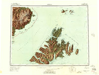
1957 edition
30.4 x 23.1 inches
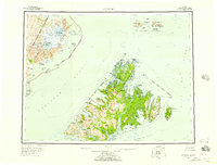
1957 edition
30.3 x 23.1 inches
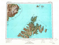
1965 edition
30.4 x 23.1 inches
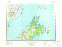
1965 edition
30.4 x 23.1 inches
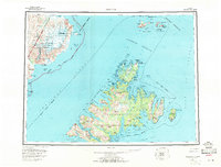
1971 edition
30.4 x 23.1 inches
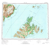
1976 edition
25.9 x 23.2 inches
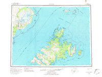
1981 edition
30.4 x 23.1 inches
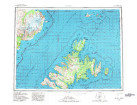
1982 edition
30.3 x 23.2 inches
1988 edition
30.3 x 22.8 inches
Other maps of this area

1947 · Kodiak D-3
USGS Topo · 1:63,360

1948 · Mt Katmai
USGS Topo · 1:250,000

1949 · Kodiak D-2
USGS Topo · 1:63,360

1949 · Kodiak D-3
USGS Topo · 1:63,360

1949 · Kodiak D-1
USGS Topo · 1:63,360

1950 · Kodiak D-3
USGS Topo · 1:63,360

1951 · Kodiak D-1
USGS Topo · 1:63,360

1951 · Kodiak D-2
USGS Topo · 1:63,360

1951 · Mt Katmai
USGS Topo · 1:250,000

1951 · Karluk
USGS Topo · 1:250,000