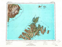
1952 Map of Afognak
USGS Topo · Published 1965About this map
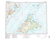
Afognak and Raspberry Island anchor this coastal survey, where the intricate shoreline of the Chugach National Forest meets the open waters of the Gulf of Alaska. The map documents a maritime landscape defined by isolated settlements and navigational markers, including the Shuyak Radio Communication Center and a Lighthouse near Tonki Cape. Across Shelikof Strait, the Alaska Peninsula presents the glaciated heights of Mt Douglas and Fourpeaked Mountain within the Katmai National Monument. Local heritage is preserved in the location of the settlement at Kaguyak (Aband) and the Graveyard near Ouzinkie. The network of waterways, from Raspberry Strait to Izhut Bay, reflects a reliance on coastal transport and fishing, with interior features like Afognak Lake and Hatchery Peak indicating early resource management and inland terrain character.
Find a feature on this map
76 named features on this map. Tap any name to fly to it.
Don’t see what you’re looking for? This feature index may not catch every label — zoom into the map to look around manually.
Map Details
Editions of this 1952 Afognak Map
10 editions found

1953 edition
30.6 x 23.1 inches
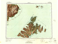
1957 edition
30.4 x 23.1 inches
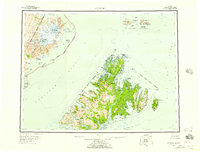
1957 edition
30.3 x 23.1 inches
1965 edition
30.4 x 23.1 inches
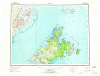
1965 edition
30.4 x 23.1 inches
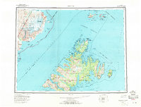
1971 edition
30.4 x 23.1 inches
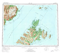
1976 edition
25.9 x 23.2 inches
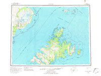
1981 edition
30.4 x 23.1 inches
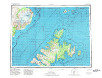
1982 edition
30.3 x 23.2 inches
1988 edition
30.3 x 22.8 inches
Other maps of this area

1947 · Kodiak D-3
USGS Topo · 1:63,360

1948 · Mt Katmai
USGS Topo · 1:250,000

1949 · Kodiak D-2
USGS Topo · 1:63,360

1949 · Kodiak D-3
USGS Topo · 1:63,360

1949 · Kodiak D-1
USGS Topo · 1:63,360

1950 · Kodiak D-3
USGS Topo · 1:63,360

1951 · Kodiak D-1
USGS Topo · 1:63,360

1951 · Kodiak D-2
USGS Topo · 1:63,360

1951 · Mt Katmai
USGS Topo · 1:250,000

1951 · Karluk
USGS Topo · 1:250,000