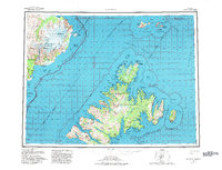
1952 Map of Afognak
USGS Topo · Published 1982About this map
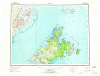
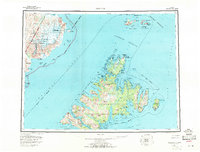
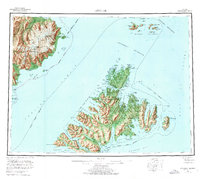
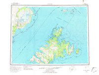
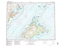
Afognak Island and the northern reaches of the Kodiak Island Borough dominate this maritime survey, illustrating the complex geography of the archipelago during the mid-20th century. The settlement of Afognak sits at the southern edge, while northern outposts like Port Vita and the Shuyak Radio Communication Center on Shuyak Island indicate the era's reliance on coastal navigation and military-telecommunications infrastructure. Across the Shelikof Strait, the mainland coast is defined by massive ice features including the Spotted Glacier and Fourpeaked Glacier, descending from peaks like Mt Douglas. The map documents a landscape of essential waterways, from the narrow Raspberry Strait to the wide Stevenson Entrance, which historically served as the primary transit corridors for local fishing and transport between the islands and the mainland.
Find a feature on this map
71 named features on this map. Tap any name to fly to it.
Don’t see what you’re looking for? This feature index may not catch every label — zoom into the map to look around manually.
Map Details
Editions of this 1952 Afognak Map
10 editions found

1953 edition
30.6 x 23.1 inches
1957 edition
30.4 x 23.1 inches
1957 edition
30.3 x 23.1 inches
1965 edition
30.4 x 23.1 inches
1965 edition
30.4 x 23.1 inches
1971 edition
30.4 x 23.1 inches
1976 edition
25.9 x 23.2 inches
1981 edition
30.4 x 23.1 inches
1982 edition
30.3 x 23.2 inches
1988 edition
30.3 x 22.8 inches
Other maps of this area

1947 · Kodiak D-3
USGS Topo · 1:63,360

1948 · Mt Katmai
USGS Topo · 1:250,000

1949 · Kodiak D-2
USGS Topo · 1:63,360

1949 · Kodiak D-3
USGS Topo · 1:63,360

1949 · Kodiak D-1
USGS Topo · 1:63,360

1950 · Kodiak D-3
USGS Topo · 1:63,360

1951 · Kodiak D-1
USGS Topo · 1:63,360

1951 · Kodiak D-2
USGS Topo · 1:63,360

1951 · Mt Katmai
USGS Topo · 1:250,000

1951 · Karluk
USGS Topo · 1:250,000