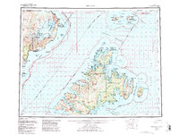
1952 Map of Afognak
USGS Topo · Published 1988About this map
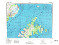
Afognak Island and the surrounding maritime landscape of the northern Gulf of Alaska are documented here during a period of expanding federal conservation and coastal activity. The map details the intricate coastlines of Shuyak Island and Raspberry Island, featuring established coastal points like Port Vita and Wakefield. In the early 1950s, the region's economy and social structure were defined by its isolation and reliance on the sea, visible in the placement of the Shuyak Radio Communication Center and small settlements like Afognak and Kaguyak.
Find a feature on this map
82 named features on this map. Tap any name to fly to it.
Don’t see what you’re looking for? This feature index may not catch every label — zoom into the map to look around manually.
Map Details
Editions of this 1952 Afognak Map
10 editions found

1953 edition
30.6 x 23.1 inches
1957 edition
30.4 x 23.1 inches
1957 edition
30.3 x 23.1 inches
1965 edition
30.4 x 23.1 inches
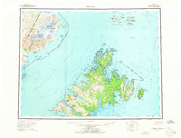
1965 edition
30.4 x 23.1 inches
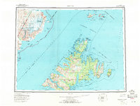
1971 edition
30.4 x 23.1 inches
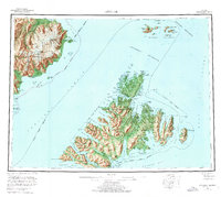
1976 edition
25.9 x 23.2 inches
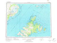
1981 edition
30.4 x 23.1 inches
1982 edition
30.3 x 23.2 inches
1988 edition
30.3 x 22.8 inches
Other maps of this area

1947 · Kodiak D-3
USGS Topo · 1:63,360

1948 · Mt Katmai
USGS Topo · 1:250,000

1949 · Kodiak D-2
USGS Topo · 1:63,360

1949 · Kodiak D-3
USGS Topo · 1:63,360

1949 · Kodiak D-1
USGS Topo · 1:63,360

1950 · Kodiak D-3
USGS Topo · 1:63,360

1951 · Kodiak D-1
USGS Topo · 1:63,360

1951 · Kodiak D-2
USGS Topo · 1:63,360

1951 · Mt Katmai
USGS Topo · 1:250,000

1951 · Karluk
USGS Topo · 1:250,000