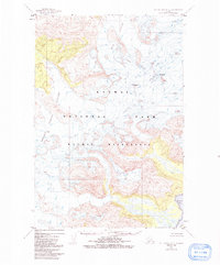
1951 Map of Mt. Katmai B-2
USGS Topo · Published 1991About this map
Kukak Volcano dominates the northeastern corner of this 1951 topographic survey, towering over a landscape defined by massive ice fields and active glaciation. The sheet captures the sheer scale of the Aleutian Range within the Katmai National Park, where the Hook Glacier and Serpent Tongue Glacier carve through the high peaks of Mt Denison and Mt Stellar. This is a terrain of absolute wilderness, lacking any roads or trails, showing the raw geological character of the Alaska Peninsula before modern satellite mapping. To the southeast, the land drops precipitously into Kukak Bay, illustrating the dramatic transition from volcanic summits to the tidal waters of the Pacific. The map reflects a moment in the mid-twentieth century when these remote stretches of the Katmai Wilderness were being documented via photogrammetric methods from aerial surveys.
Find a feature on this map
8 named features on this map. Tap any name to fly to it.
Don’t see what you’re looking for? This feature index may not catch every label — zoom into the map to look around manually.
Map Details
Editions of this 1951 Mt. Katmai B-2 Map
3 editions found

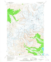
Other maps of this area

1948 · Mt Katmai
USGS Topo · 1:250,000

1951 · Mt Katmai
USGS Topo · 1:250,000

1951 · Mount Katmai A-3
USGS Topo · 1:63,360

1951 · Mount Katmai C-3
USGS Topo · 1:63,360

1951 · Mount Katmai A-2
USGS Topo · 1:63,360
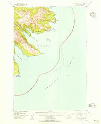
1951 · Mount Katmai A-1
USGS Topo · 1:63,360

1951 · Mount Katmai C-2
USGS Topo · 1:63,360

1951 · Mount Katmai C-1
USGS Topo · 1:63,360

1951 · Mount Katmai B-3
USGS Topo · 1:63,360

1951 · Mount Katmai B-1
USGS Topo · 1:63,360