
1951 Map of Mount Katmai B-3
USGS Topo · Published 1956About this map
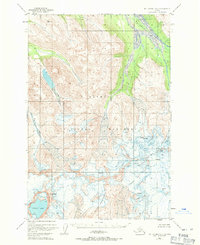
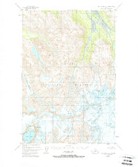
Katmai National Monument defines this glaciated landscape in the early 1950s, centered on the high volcanic peaks of the Aleutian Range. The map captures the dramatic geography of Mt Katmai and its central Crater Lake, along with the surrounding summits of Snowy Mountain and Noisy Mountain. The terrain is marked by extensive glacial features, with numerous Crevasses indicated across the ice fields. This 1951 survey provides a primary record of the drainage patterns for the Rainbow River and Ikagluik Creek before subsequent decades of volcanic and seismic activity further altered the region. The map reflects a period when topographic data was derived from 1955 multiplex methods and 1951 aerial photography, offering a baseline for studying the shifting ice and water of this protected wilderness.
Find a feature on this map
9 named features on this map. Tap any name to fly to it.
Don’t see what you’re looking for? This feature index may not catch every label — zoom into the map to look around manually.
Map Details
Editions of this 1951 Mount Katmai B-3 Map
3 editions found
Other maps of this area

1948 · Mt Katmai
USGS Topo · 1:250,000

1951 · Mt Katmai
USGS Topo · 1:250,000

1951 · Mount Katmai A-3
USGS Topo · 1:63,360

1951 · Mount Katmai C-3
USGS Topo · 1:63,360

1951 · Mount Katmai B-4
USGS Topo · 1:63,360

1951 · Mount Katmai C-4
USGS Topo · 1:63,360

1951 · Mount Katmai A-2
USGS Topo · 1:63,360

1951 · Mount Katmai C-2
USGS Topo · 1:63,360

1951 · Mount Katmai A-4
USGS Topo · 1:63,360

1951 · Mount Katmai B-2
USGS Topo · 1:63,360