
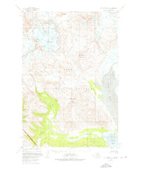
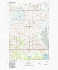
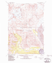
1951 Map of Mount Katmai A-4
USGS Topo · Published 1956About this map
Katmai National Monument and its volcanic landscape are the focus of this 1950s survey, compiled primarily from aerial photographs and maritime charts. The terrain is dominated by the massive peaks of Mt Mageik and Trident Volcano, where extensive glacial activity is recorded through numerous noted Crevasses. The map documents a highly dynamic geological environment, most notably the Mageik Landslide which occupies the valley between Mageik Creek and Martin Creek.
Find a feature on this map
16 named features on this map. Tap any name to fly to it.
Don’t see what you’re looking for? This feature index may not catch every label — zoom into the map to look around manually.
Map Details
Editions of this 1951 Mount Katmai A-4 Map
4 editions found
Other maps of this area

1948 · Mt Katmai
USGS Topo · 1:250,000

1951 · Mt Katmai
USGS Topo · 1:250,000

1951 · Karluk
USGS Topo · 1:250,000

1951 · Mount Katmai A-3
USGS Topo · 1:63,360

1951 · Mount Katmai B-4
USGS Topo · 1:63,360

1951 · Karluk D-4
USGS Topo · 1:63,360

1951 · Karluk D-5
USGS Topo · 1:63,360

1951 · Mount Katmai B-3
USGS Topo · 1:63,360

1951 · Mount Katmai B-5
USGS Topo · 1:63,360

1951 · Mount Katmai A-5
USGS Topo · 1:63,360