
1951 Map of Karluk D-5
USGS Topo · Published 1956About this map
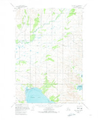
The Kejulik River and the sweeping shorelines of the Alaska Peninsula define this 1951 coastal survey. Situated within the Third Judicial Division, the landscape is dominated by tidal dynamics and drainage networks, notably around Puale Bay and Alinchak Bay. A solitary Cabin situated near the Tidal Flat at the head of Puale Bay suggests the presence of seasonal maritime activity or early territorial settlement in an area otherwise defined by its hydrology.
Find a feature on this map
15 named features on this map. Tap any name to fly to it.
Don’t see what you’re looking for? This feature index may not catch every label — zoom into the map to look around manually.
Map Details
Editions of this 1951 Karluk D-5 Map
2 editions found
Other maps of this area

1948 · Mt Katmai
USGS Topo · 1:250,000

1951 · Mt Katmai
USGS Topo · 1:250,000

1951 · Karluk
USGS Topo · 1:250,000

1951 · Mount Katmai A-6
USGS Topo · 1:63,360

1951 · Karluk D-6
USGS Topo · 1:63,360
1951 · Karluk C-4 and C-5
USGS Topo · 1:63,360

1951 · Karluk D-4
USGS Topo · 1:63,360

1951 · Mount Katmai A-4
USGS Topo · 1:63,360
1951 · Karluk C-6
USGS Topo · 1:63,360

1951 · Mount Katmai A-5
USGS Topo · 1:63,360