
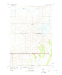
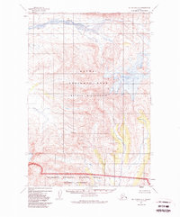
1951 Map of Mount Katmai A-5
USGS Topo · Published 1956About this map
Katmai National Monument dominates this mid-century topographic study, showcasing a landscape shaped by significant volcanic and glacial activity. The northern section is defined by the braided channels of Angle Creek, while the towering Martin Mountain rises in the northeast, its slopes marked by intricate glacial Crevasses. The map details the transition from high mountain passes to valley floor drainage systems, providing a clear view of the hydrological relationship between high-altitude peaks and the lower-lying river basins.
Find a feature on this map
10 named features on this map. Tap any name to fly to it.
Don’t see what you’re looking for? This feature index may not catch every label — zoom into the map to look around manually.
Map Details
Editions of this 1951 Mount Katmai A-5 Map
3 editions found
Other maps of this area

1948 · Mt Katmai
USGS Topo · 1:250,000

1951 · Mt Katmai
USGS Topo · 1:250,000

1951 · Karluk
USGS Topo · 1:250,000

1951 · Mount Katmai A-6
USGS Topo · 1:63,360

1951 · Mount Katmai B-4
USGS Topo · 1:63,360

1951 · Mount Katmai B-6
USGS Topo · 1:63,360

1951 · Karluk D-6
USGS Topo · 1:63,360

1951 · Karluk D-4
USGS Topo · 1:63,360

1951 · Mount Katmai A-4
USGS Topo · 1:63,360

1951 · Karluk D-5
USGS Topo · 1:63,360