
1951 Map of Karluk D-6
USGS Topo · Published 1956About this map
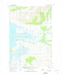
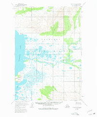
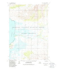
The Kejulik River snakes through an expansive lowland of marsh and lakes in this mid-century survey of the Alaska Peninsula. Positioned along the eastern shore of Becharof Lake, the landscape is defined by the massive water body and the complex drainage of the surrounding wetlands. The Severson Peninsula juts into the lake to the south, while the northern terrain rises into significant elevations drained by Marie Creek.
Find a feature on this map
9 named features on this map. Tap any name to fly to it.
Don’t see what you’re looking for? This feature index may not catch every label — zoom into the map to look around manually.
Map Details
Editions of this 1951 Karluk D-6 Map
4 editions found
Other maps of this area

1943 · Ugashik
USGS Topo · 1:250,000

1948 · Mt Katmai
USGS Topo · 1:250,000

1948 · Ugashik
USGS Topo · 1:250,000

1949 · Ugashik
USGS Topo · 1:250,000

1951 · Mt Katmai
USGS Topo · 1:250,000

1951 · Karluk
USGS Topo · 1:250,000

1951 · Mount Katmai A-6
USGS Topo · 1:63,360

1951 · Ugashik D-1
USGS Topo · 1:63,360

1951 · Ugashik C-1
USGS Topo · 1:63,360

1951 · Naknek A-1
USGS Topo · 1:63,360