
1951 Map of Mount Katmai B-4
USGS Topo · Published 1956About this map
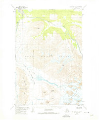
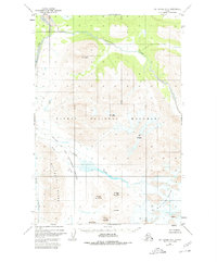
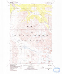
Katmai National Monument defines this mid-century topographic survey, illustrating a landscape of immense volcanic activity and glacial movement. The sheet centers on the legendary Valley of Ten Thousand Smokes, where the braided waters of Knife Creek flow past Lethe. This area reflects the dramatic geology of the early twentieth-century eruption, featuring prominent peaks such as Knife Peak Volcano, Novarupta Volcano, and Falling Mountain. To the north, the Buttress Range and Mt Ikagluik tower over the Ukak River and its tributary, Ikagluik Creek. The map provides a detailed look at The Knife Creek Glaciers descending from high elevations, offering a study of ice and ash in one of Alaska’s most volatile regions. Notable landmarks like Baked Mountain and Broken Mountain are also mapped near Mt Cerberus.
Find a feature on this map
18 named features on this map. Tap any name to fly to it.
Don’t see what you’re looking for? This feature index may not catch every label — zoom into the map to look around manually.
Map Details
Editions of this 1951 Mount Katmai B-4 Map
4 editions found
Other maps of this area

1948 · Mt Katmai
USGS Topo · 1:250,000

1951 · Mt Katmai
USGS Topo · 1:250,000

1951 · Mount Katmai A-3
USGS Topo · 1:63,360

1951 · Mount Katmai C-3
USGS Topo · 1:63,360

1951 · Mount Katmai C-5
USGS Topo · 1:63,360

1951 · Mount Katmai C-4
USGS Topo · 1:63,360

1951 · Mount Katmai A-4
USGS Topo · 1:63,360

1951 · Mount Katmai B-3
USGS Topo · 1:63,360

1951 · Mount Katmai B-5
USGS Topo · 1:63,360

1951 · Mount Katmai A-5
USGS Topo · 1:63,360