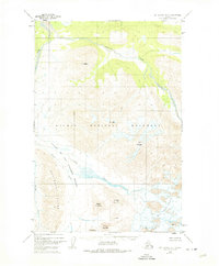
1951 Map of Mount Katmai B-4
USGS Topo · Published 1974About this map
Valley of Ten Thousand Smokes dominates this section of Katmai National Monument, revealing a landscape profoundly reshaped by the massive 1912 eruption. The map serves as a record of the aftermath, detailing the ash-filled basin through which Knife Creek and the River flow. The presence of Novarupta and Mt Cerberus at the head of the valley illustrates the volcanic source of this terrain, while surrounding peaks like Mt Griggs and Mt Juhle define the high-altitude boundaries. Glacial activity is equally prominent, with the Knife Creek Glaciers feeding the drainage systems from the eastern heights. This 1951 photogrammetric survey, revised in the 1970s, provides an essential topographical study of these active geological features, including the Buttress Range and the silt-laden Ukak River as they appeared mid-century.
Find a feature on this map
18 named features on this map. Tap any name to fly to it.
Don’t see what you’re looking for? This feature index may not catch every label — zoom into the map to look around manually.
Map Details
Editions of this 1951 Mount Katmai B-4 Map
4 editions found
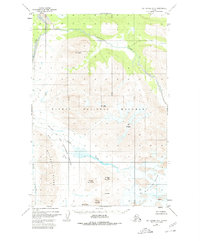
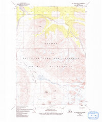
Other maps of this area

1948 · Mt Katmai
USGS Topo · 1:250,000

1951 · Mt Katmai
USGS Topo · 1:250,000

1951 · Mount Katmai A-3
USGS Topo · 1:63,360

1951 · Mount Katmai C-3
USGS Topo · 1:63,360

1951 · Mount Katmai B-4
USGS Topo · 1:63,360

1951 · Mount Katmai C-5
USGS Topo · 1:63,360

1951 · Mount Katmai C-4
USGS Topo · 1:63,360

1951 · Mount Katmai A-4
USGS Topo · 1:63,360

1951 · Mount Katmai B-3
USGS Topo · 1:63,360

1951 · Mount Katmai B-5
USGS Topo · 1:63,360