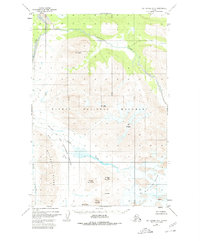
1951 Map of Mount Katmai B-4
USGS Topo · Published 1980About this map
Katmai National Monument underwent a profound geological transformation during the 1912 eruption, and this mid-century survey reveals the resulting landscape of the Valley of Ten Thousand Smokes. The map details the central volcanic complex where Novarupta and Falling Mountain stand as permanent monuments to one of the largest eruptions in recorded history. The drainage of Knife Creek is shown fed by The Knife Creek Glaciers, carving through ash deposits that reshaped the region's topography.
Find a feature on this map
18 named features on this map. Tap any name to fly to it.
Don’t see what you’re looking for? This feature index may not catch every label — zoom into the map to look around manually.
Map Details
Editions of this 1951 Mount Katmai B-4 Map
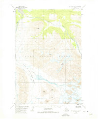
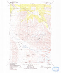
4 editions found
Other maps of this area

1948 · Mt Katmai
USGS Topo · 1:250,000

1951 · Mt Katmai
USGS Topo · 1:250,000

1951 · Mount Katmai A-3
USGS Topo · 1:63,360

1951 · Mount Katmai C-3
USGS Topo · 1:63,360

1951 · Mount Katmai B-4
USGS Topo · 1:63,360

1951 · Mount Katmai C-5
USGS Topo · 1:63,360

1951 · Mount Katmai C-4
USGS Topo · 1:63,360

1951 · Mount Katmai A-4
USGS Topo · 1:63,360

1951 · Mount Katmai B-3
USGS Topo · 1:63,360

1951 · Mount Katmai B-5
USGS Topo · 1:63,360