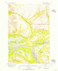
1951 Map of Mount Katmai C-3
USGS Topo · Published 1956About this map
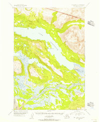
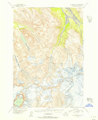
Katmai National Monument defines the landscape of this 1951 aerial survey, centered on the complex drainage systems of the Savonoski River and Rainbow River. The map documents a volatile geological environment where high-altitude landmarks like VABM 3462 Scrab overlook deep canyons and braided glacial waterways. The confluence of Hardscrabble Creek and Gorge Creek reveals the intense erosion patterns characteristic of this volcanic region, captured here during early federal efforts to delineate monument boundaries. The presence of Falls along unnamed tributaries underscores the steep, unmapped gradients of the interior. This topographic study is a rare primary source for understanding the hydrologic layout of the Alaska Peninsula before modern climate shifts and volcanic activity further altered these river courses.
Find a feature on this map
9 named features on this map. Tap any name to fly to it.
Don’t see what you’re looking for? This feature index may not catch every label — zoom into the map to look around manually.
Map Details
Editions of this 1951 Mount Katmai C-3 Map
3 editions found
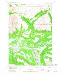

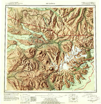
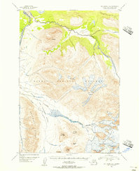
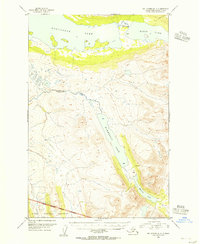
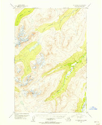
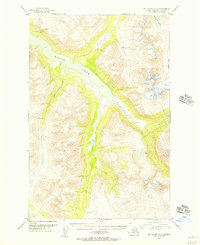
Other maps of this area

1948 · Mt Katmai
USGS Topo · 1:250,000
1951 · Mt Katmai
USGS Topo · 1:250,000
1951 · Mount Katmai B-4
USGS Topo · 1:63,360
1951 · Mount Katmai C-4
USGS Topo · 1:63,360

1951 · Mount Katmai C-2
USGS Topo · 1:63,360
1951 · Mount Katmai D-4
USGS Topo · 1:63,360
1951 · Mount Katmai D-2
USGS Topo · 1:63,360
1951 · Mount Katmai D-3
USGS Topo · 1:63,360
1951 · Mount Katmai B-3
USGS Topo · 1:63,360
1951 · Mount Katmai B-2
USGS Topo · 1:63,360