
1951 Map of Mount Katmai D-4
USGS Topo · Published 1956About this map
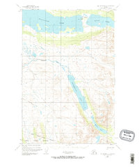
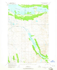
The northern reaches of the Katmai National Monument are defined by an expansive system of freshwater lakes and drainage basins as they appeared in the early 1950s. A significant archaeological and cultural landmark, the Site of Ancient Village, is situated on the northern shore of Nonvianuk Lake near the passage to Kulik Lake. This area represents a critical landscape for understanding Indigenous settlement patterns and the historical geography of the Alaska Peninsula before more modern changes. The topographic detail follows the serpentine path of American Creek south into the deep basin of Hammersly Lake, which dominates the central portion of the sheet. To the southeast, the terrain rises toward the monument boundary near Murray Lake, illustrating the transition from the lake country to the high mountainous interior of the Katmai region.
Find a feature on this map
9 named features on this map. Tap any name to fly to it.
Don’t see what you’re looking for? This feature index may not catch every label — zoom into the map to look around manually.
Map Details
Editions of this 1951 Mount Katmai D-4 Map
3 editions found
Other maps of this area

1948 · Mt Katmai
USGS Topo · 1:250,000

1951 · Mt Katmai
USGS Topo · 1:250,000

1951 · Mount Katmai C-3
USGS Topo · 1:63,360

1951 · Mount Katmai D-5
USGS Topo · 1:63,360

1951 · Mount Katmai C-5
USGS Topo · 1:63,360

1951 · Iliamna A-7
USGS Topo · 1:63,360

1951 · Mount Katmai C-4
USGS Topo · 1:63,360

1951 · Mount Katmai D-3
USGS Topo · 1:63,360

1951 · Iliamna A-6
USGS Topo · 1:63,360

1952 · Iliamna
USGS Topo · 1:250,000