
1952 Map of Iliamna
USGS Topo · Published 1953About this map
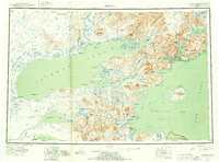
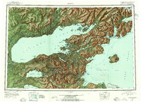
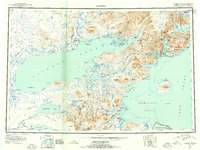
Lake Iliamna dominates this mid-century reconnaissance, serving as the central waterway for remote settlements like Iliamna, Newhalen, and Nondalton. The map documents a period of transition in the Third Judicial Division, where established locations like Seversens and Roadhouse appear alongside Old Iliamna (Aband). To the east, the Chigmit Mountains of the Aleutian Range separate the freshwater interior from the tidal waters of Cook Inlet, where Augustine Island (Volcano) rises prominently from Kamishak Bay.
Find a feature on this map
100 named features on this map. Tap any name to fly to it.
Don’t see what you’re looking for? This feature index may not catch every label — zoom into the map to look around manually.
Map Details
Editions of this 1952 Iliamna Map
4 editions found
Other maps of this area

1944 · Kenai
USGS Topo · 1:250,000

1946 · Lake Clark
USGS Topo · 1:250,000

1948 · Mt Katmai
USGS Topo · 1:250,000

1949 · Iliamna C-1
USGS Topo · 1:63,360

1950 · Kenai
USGS Topo · 1:250,000

1950 · Taylor Mountains
USGS Topo · 1:250,000

1951 · Lake Clark
USGS Topo · 1:250,000

1951 · Taylor Mountains
USGS Topo · 1:250,000

1951 · Dillingham
USGS Topo · 1:250,000

1951 · Mt Katmai
USGS Topo · 1:250,000