
1944 Map of Kenai
USGS Topo · Published 1954About this map
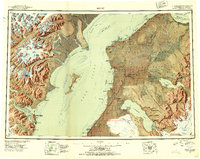
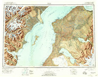
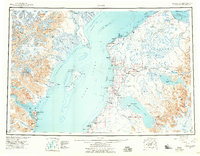
The western shores of the Kenai Peninsula meet the volatile waters of Cook Inlet in this mid-century reconnaissance, capturing a landscape of transition as the Sterling Highway began to define interior travel. While established settlements like Kenai and the burgeoning crossroads of Soldotna anchor the eastern coast, the map also records the site of Salamatoff (Abandoned), signaling the shifting demographics of the region. Across the inlet, the formidable heights of the Alaska Range, including the towering Redoubt Volcano, contrast sharply with the low-lying tidal flats of Redoubt Bay.
Find a feature on this map
105 named features on this map. Tap any name to fly to it.
Don’t see what you’re looking for? This feature index may not catch every label — zoom into the map to look around manually.
Map Details
Editions of this 1944 Kenai Map
4 editions found
Other maps of this area

1946 · Blying Sound
USGS Topo · 1:250,000

1946 · Lake Clark
USGS Topo · 1:250,000

1946 · Seldovia D-5
USGS Topo · 1:63,360

1949 · Tyonek
USGS Topo · 1:250,000

1949 · Seldovia D-4
USGS Topo · 1:63,360

1950 · Kenai
USGS Topo · 1:250,000

1950 · Kenai C-3
USGS Topo · 1:63,360

1950 · Kenai B-1
USGS Topo · 1:63,360

1950 · Seldovia D-2
USGS Topo · 1:63,360

1950 · Seward A-8
USGS Topo · 1:63,360