
1951 Map of Mount Katmai D-5
USGS Topo · Published 1956About this map
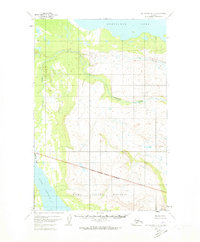
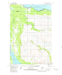
American Creek dominates this 1951 aerial survey, winding through a glacial landscape toward the expansive Nonvianuk Lake in the north. The map documents a critical era for the Katmai National Monument, showing its National Monument Boundary cutting across the southern terrain. This region represents the untouched Alaskan interior prior to the major expansions of the park system later in the century. In the southwest, the waters of Lake Coville appear, illustrating the interconnected lake and river systems that define this remote watershed. The survey reflects the early use of photogrammetric mapping in Alaska, capturing precise topographic contours and drainage patterns that were only beginning to be systematically recorded by the Geological Survey during the post-war years.
Find a feature on this map
6 named features on this map. Tap any name to fly to it.
Don’t see what you’re looking for? This feature index may not catch every label — zoom into the map to look around manually.
Map Details
Editions of this 1951 Mount Katmai D-5 Map
4 editions found
Other maps of this area

1948 · Mt Katmai
USGS Topo · 1:250,000

1951 · Mt Katmai
USGS Topo · 1:250,000

1951 · Mount Katmai C-6
USGS Topo · 1:63,360

1951 · Mount Katmai C-5
USGS Topo · 1:63,360

1951 · Mount Katmai D-6
USGS Topo · 1:63,360

1951 · Iliamna A-7
USGS Topo · 1:63,360

1951 · Mount Katmai C-4
USGS Topo · 1:63,360

1951 · Mount Katmai D-4
USGS Topo · 1:63,360

1951 · Iliamna A-8
USGS Topo · 1:63,360

1952 · Iliamna
USGS Topo · 1:250,000