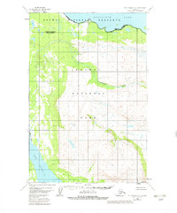
1951 Map of Mount Katmai D-5
USGS Topo · Published 1982About this map
Nonvianuk Lake and Lake Coville anchor this landscape, representing the hydrological complexity of the northern Alaska Peninsula. Surveyed in 1951 with minor revisions in 1982, the map documents the transition of these lands into federal protection under the Alaska National Interest Lands Conservation Act. The topographic detail follows the path of American Creek as it winds between the shorelines, illustrating the sharp elevation changes between the lowland lake basins and the interior ridges of Katmai National Park. Boundaries for the Katmai National Preserve and various wilderness zones are clearly delineated, marking the legal and environmental partitions established during the late twentieth century. This sheet is a primary source for understanding the pristine state of these watersheds before the formalization of modern park boundaries.
Find a feature on this map
8 named features on this map. Tap any name to fly to it.
Don’t see what you’re looking for? This feature index may not catch every label — zoom into the map to look around manually.
Map Details
Editions of this 1951 Mount Katmai D-5 Map
4 editions found
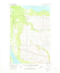
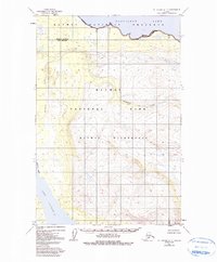
Other maps of this area

1948 · Mt Katmai
USGS Topo · 1:250,000

1951 · Mt Katmai
USGS Topo · 1:250,000

1951 · Mount Katmai C-6
USGS Topo · 1:63,360

1951 · Mount Katmai D-5
USGS Topo · 1:63,360

1951 · Mount Katmai C-5
USGS Topo · 1:63,360

1951 · Mount Katmai D-6
USGS Topo · 1:63,360

1951 · Iliamna A-7
USGS Topo · 1:63,360

1951 · Mount Katmai C-4
USGS Topo · 1:63,360

1951 · Mount Katmai D-4
USGS Topo · 1:63,360

1951 · Iliamna A-8
USGS Topo · 1:63,360