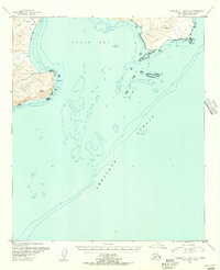
1951 Map of Karluk C-4 and C-5
USGS Topo · Published 1956About this map
Puale Bay and the turbulent waters of the Shelikof Strait dominate this coastal survey along the Alaska Peninsula. The topography, derived from 1950s aerial photography, reveals a landscape defined by sharp coastal points like Cape Aklek and Cape Kekurnoi, with substantial Tidal Flats bordering the northern reaches of the bay. Inland, the terrain is marked by seasonal and permanent waterways including Teresa Creek, Kati Creek, and Dry Creek. Though largely uninhabited, the presence of a Cabin near the coast and a primitive Trail suggest the movement of trappers or indigenous Alaskans through this maritime environment. High-elevation survey marks, such as VABM Klek and VABM Akek, provide essential reference points for navigation and mapping along this remote coastline.
Find a feature on this map
18 named features on this map. Tap any name to fly to it.
Don’t see what you’re looking for? This feature index may not catch every label — zoom into the map to look around manually.
Map Details
Editions of this 1951 Karluk C-4 and C-5 Map
2 editions found
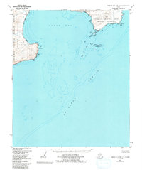
Other maps of this area

1951 · Karluk
USGS Topo · 1:250,000

1951 · Karluk D-6
USGS Topo · 1:63,360

1951 · Karluk D-4
USGS Topo · 1:63,360

1951 · Karluk D-5
USGS Topo · 1:63,360
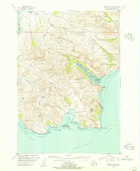
1951 · Karluk C-6
USGS Topo · 1:63,360

1952 · Karluk
USGS Topo · 1:250,000

1964 · Karluk
USGS Topo · 1:250,000
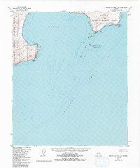
1971 · Karluk C-4 and C-5
USGS Topo · 1:63,360
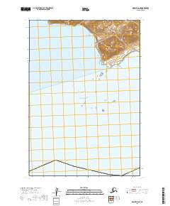
2019 · Karluk C-5 NE
USGS Topo · 1:25,000
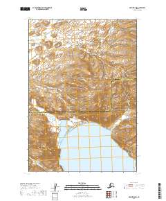
2019 · Karluk D-5 SW
USGS Topo · 1:25,000