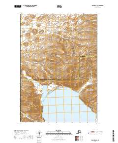
2019 Map of Karluk D-5 SW
USGS Topo · Published 2019About this map
The mountain peaks and coastal waters of the Aleutian Range dominate this 2019 survey of the Alaskan coast. This area marks a significant administrative boundary where the Lake and Peninsula Borough meets the Kodiak Island Borough. The topography is defined by the sharp descent of the range into the waters of Phale Bay at the southern edge of the map. In the northern and eastern reaches, the drainage patterns of Margaret Cr and Katrine Cr carve through the high terrain. To the southeast, Portage Cr flows toward the coast near Teresa Cr, illustrating the rugged drainage systems that characterize this part of the Alaska Peninsula. The map provides a detailed view of these natural hydrological features before they reach the Pacific waters.
Find a feature on this map
11 named features on this map. Tap any name to fly to it.
Don’t see what you’re looking for? This feature index may not catch every label — zoom into the map to look around manually.
Map Details
Editions of this 2019 Karluk D-5 SW Map
This is the sole edition of this map. No revisions or reprints were ever made.
Other maps of this area

1951 · Karluk
USGS Topo · 1:250,000

1951 · Karluk D-6
USGS Topo · 1:63,360
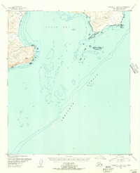
1951 · Karluk C-4 and C-5
USGS Topo · 1:63,360

1951 · Karluk D-5
USGS Topo · 1:63,360
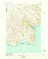
1951 · Karluk C-6
USGS Topo · 1:63,360

1952 · Karluk
USGS Topo · 1:250,000

1964 · Karluk
USGS Topo · 1:250,000
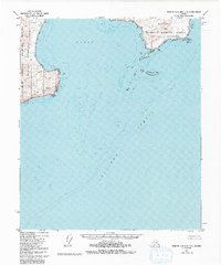
1971 · Karluk C-4 and C-5
USGS Topo · 1:63,360
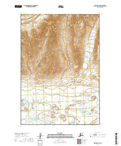
2019 · Karluk D-6 NE
USGS Topo · 1:25,000
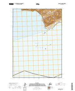
2019 · Karluk C-5 NE
USGS Topo · 1:25,000