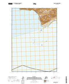
2019 Map of Karluk C-5 NE
USGS Topo · Published 2019About this map
Pacific Ocean waters dominate this coastal landscape on the southwestern side of Kodiak Island. The map reveals a shoreline characterized by dramatic elevation changes, with land rising steeply from the sea into unnamed ridges and peaks. These coastal landforms are part of the Kodiak Island Borough, illustrating the maritime environment of the Gulf of Alaska. The survey focuses heavily on the natural terrain and hydrography, showing the intricate contour lines of the coastal bluffs and the way the land meets the sea in this northern reach of Alaska. While no named settlements appear on this specific sheet, the map provides precise documentation of the shoreline and the public land survey system grid, including townships t28s r38w and t28s r37w.
Find a feature on this map
7 named features on this map. Tap any name to fly to it.
Don’t see what you’re looking for? This feature index may not catch every label — zoom into the map to look around manually.
Map Details
Editions of this 2019 Karluk C-5 NE Map
This is the sole edition of this map. No revisions or reprints were ever made.
Other maps of this area

1951 · Karluk
USGS Topo · 1:250,000
1951 · Karluk C-4 and C-5
USGS Topo · 1:63,360

1951 · Karluk D-4
USGS Topo · 1:63,360

1951 · Karluk D-5
USGS Topo · 1:63,360

1952 · Karluk
USGS Topo · 1:250,000

1964 · Karluk
USGS Topo · 1:250,000
1971 · Karluk C-4 and C-5
USGS Topo · 1:63,360
2019 · Karluk D-5 SW
USGS Topo · 1:25,000
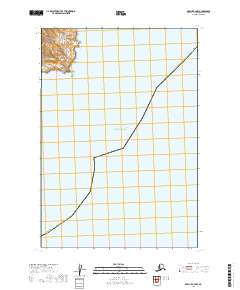
2019 · Karluk C-4 NW
USGS Topo · 1:25,000
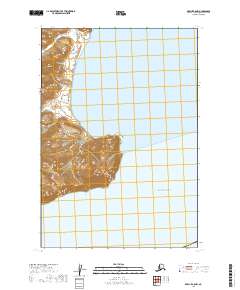
2019 · Karluk C-5 NW
USGS Topo · 1:25,000