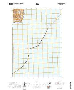
2019 Map of Karluk C-4 NW
USGS Topo · Published 2019About this map
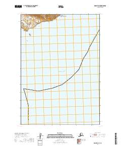
The vast expanse of the Pacific Ocean dominates this maritime survey, illustrating the remote coastal waters within the Kodiak Island Borough. The map captures a largely aquatic landscape where the seafloor and sea surface intersect with the rugged western coastline of Kodiak Island. The presence of the Alaska Kodiak Island Borough boundary line cutting through the open water provides a rare visual of how maritime jurisdictions are plotted across the North Pacific. Sparse terrestrial features on the western edge of the sheet highlight the isolation of this region, where the primary topographic interest lies in the coastal shelf and the transition from the open sea to the rocky Alaskan shoreline.
Find a feature on this map
3 named features on this map. Tap any name to fly to it.
Don’t see what you’re looking for? This feature index may not catch every label — zoom into the map to look around manually.
Map Details
Editions of this 2019 Karluk C-4 NW Map
This is the sole edition of this map. No revisions or reprints were ever made.
Other maps of this area

1951 · Karluk
USGS Topo · 1:250,000
1951 · Karluk C-4 and C-5
USGS Topo · 1:63,360

1951 · Karluk D-4
USGS Topo · 1:63,360

1951 · Karluk D-5
USGS Topo · 1:63,360

1952 · Karluk
USGS Topo · 1:250,000

1964 · Karluk
USGS Topo · 1:250,000
1971 · Karluk C-4 and C-5
USGS Topo · 1:63,360
2019 · Karluk C-5 NE
USGS Topo · 1:25,000
2019 · Karluk D-4 SE
USGS Topo · 1:25,000
2019 · Karluk D-4 SW
USGS Topo · 1:25,000