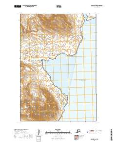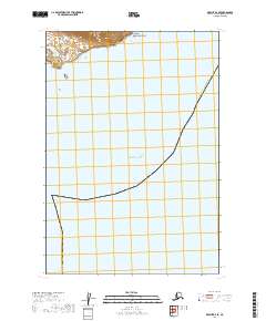
2019 Map of Karluk D-4 SE
USGS Topo · Published 2019About this map
Becharof National Wildlife Refuge and Katmai National Park meet at the northern edge of this coastal Alaskan landscape, where protected wilderness borders the vast Pacific Ocean. This 2019 survey documents a sparsely populated but environmentally significant region within the Kodiak Island Borough, illustrating the convergence of multiple conservation jurisdictions. The terrain is largely dominated by the Alaska Maritime National Wildlife Refuge, which spans the southwestern coastal sections. The map serves as a contemporary record of these federal land boundaries and their relationship to the shoreline. The lack of infrastructure or named settlements highlights the preserved natural state of this remote maritime environment, offering a clear view of the territorial divisions between national parks and wildlife refuges along the Gulf of Alaska.
Find a feature on this map
9 named features on this map. Tap any name to fly to it.
Don’t see what you’re looking for? This feature index may not catch every label — zoom into the map to look around manually.
Map Details
Editions of this 2019 Karluk D-4 SE Map
This is the sole edition of this map. No revisions or reprints were ever made.