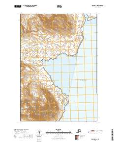
2019 Map of Karluk D-4 NE
USGS Topo · Published 2019About this map
Katmai National Park encompasses the majority of this coastal Alaskan landscape, where high peaks drop directly toward the Pacific Ocean. The terrain is dominated by significant elevations such as Atmo Mtn and Mt Kubugakli, the latter of which sits near the southern boundary bordering the Becharof National Wildlife Refuge. This intersection of protected lands highlights the remote and preserved nature of the Kodiak Island Borough coast.
Find a feature on this map
15 named features on this map. Tap any name to fly to it.
Don’t see what you’re looking for? This feature index may not catch every label — zoom into the map to look around manually.
Map Details
Editions of this 2019 Karluk D-4 NE Map
This is the sole edition of this map. No revisions or reprints were ever made.
Other maps of this area

1948 · Mt Katmai
USGS Topo · 1:250,000

1951 · Mt Katmai
USGS Topo · 1:250,000

1951 · Karluk
USGS Topo · 1:250,000

1951 · Mount Katmai A-3
USGS Topo · 1:63,360

1951 · Karluk D-4
USGS Topo · 1:63,360

1951 · Mount Katmai A-4
USGS Topo · 1:63,360

1952 · Karluk
USGS Topo · 1:250,000

1964 · Mt. Katmai
USGS Topo · 1:250,000

1964 · Karluk
USGS Topo · 1:250,000
2019 · Mount Katmai A-4 SW
USGS Topo · 1:25,000