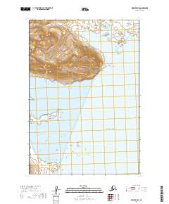
2019 Map of Karluk D-4 SW
USGS Topo · Published 2019About this map
Becharof National Wildlife Refuge and the Alaska Maritime National Wildlife Refuge converge at this remote coastal junction on the Alaska Peninsula. The landscape is defined by the deep indentations of Big Alinchak Bay, Alinchak Bay, and Little Alinchak Bay, where the shoreline meets the Pacific Ocean. This 2019 survey documents the complex hydrological patterns of the coastal mountains, with West Cr and North Cr draining into Bear Bay in the northern portion of the quadrangle.
Find a feature on this map
13 named features on this map. Tap any name to fly to it.
Don’t see what you’re looking for? This feature index may not catch every label — zoom into the map to look around manually.
Map Details
Editions of this 2019 Karluk D-4 SW Map
This is the sole edition of this map. No revisions or reprints were ever made.
Other maps of this area

1951 · Karluk
USGS Topo · 1:250,000
1951 · Karluk C-4 and C-5
USGS Topo · 1:63,360

1951 · Karluk D-4
USGS Topo · 1:63,360

1951 · Karluk D-5
USGS Topo · 1:63,360

1952 · Karluk
USGS Topo · 1:250,000

1964 · Karluk
USGS Topo · 1:250,000
1971 · Karluk C-4 and C-5
USGS Topo · 1:63,360
2019 · Karluk C-5 NE
USGS Topo · 1:25,000
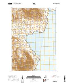
2019 · Karluk D-4 NE
USGS Topo · 1:25,000
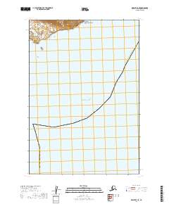
2019 · Karluk D-4 SE
USGS Topo · 1:25,000