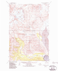
1951 Map of Mt. Katmai A-4
USGS Topo · Published 1985About this map
Katmai Pass serves as the central focal point of this 1951 aerial survey, marking a low-lying crossing between the dramatic peaks of Mt Cerberus and Mt Mageik. The map illustrates a highly active geological landscape within Katmai National Park, most notably the massive Mageik Landslide and the heights of Trident Volcano. The hydrology of the region is defined by the South-flowing Mageik Creek and Alagogshak Creek, both of which drain toward the wide Katmai River delta. As the river meets the Shelikof Strait, it forms a broad Tidal Flat before opening into Katmai Bay. The transition from glacial peaks like Topographers Peak to the coastal waters illustrates the dramatic elevation changes that characterize the Katmai Wilderness.
Find a feature on this map
16 named features on this map. Tap any name to fly to it.
Don’t see what you’re looking for? This feature index may not catch every label — zoom into the map to look around manually.
Map Details
Editions of this 1951 Mt. Katmai A-4 Map
4 editions found
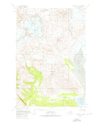
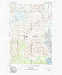
Other maps of this area

1948 · Mt Katmai
USGS Topo · 1:250,000

1951 · Mt Katmai
USGS Topo · 1:250,000

1951 · Karluk
USGS Topo · 1:250,000

1951 · Mount Katmai A-3
USGS Topo · 1:63,360

1951 · Mount Katmai B-4
USGS Topo · 1:63,360

1951 · Karluk D-4
USGS Topo · 1:63,360

1951 · Mount Katmai A-4
USGS Topo · 1:63,360

1951 · Karluk D-5
USGS Topo · 1:63,360

1951 · Mount Katmai B-3
USGS Topo · 1:63,360

1951 · Mount Katmai B-5
USGS Topo · 1:63,360