
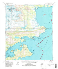
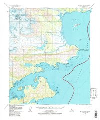
1951 Map of Mount Katmai B-1
USGS Topo · Published 1956About this map
Katmai National Monument defines this coastal reach of the Alaska Peninsula, where the high ice of Hook Glacier and Hallo Glacier descends toward the Shelikof Strait. The landscape is a study in raw coastal geography, dominated by deeply recessed tidal inlets and prominent peaks like Devils Desk. Along the intricate shoreline, the map identifies specific navigation hazards and landmarks including Yugnat Rocks and the sprawling Tidal Flat at the mouth of the Ninagiak River.
Find a feature on this map
30 named features on this map. Tap any name to fly to it.
Don’t see what you’re looking for? This feature index may not catch every label — zoom into the map to look around manually.
Map Details
Editions of this 1951 Mount Katmai B-1 Map
3 editions found
Other maps of this area

1948 · Mt Katmai
USGS Topo · 1:250,000

1951 · Mt Katmai
USGS Topo · 1:250,000

1951 · Afognak C-6
USGS Topo · 1:63,360

1951 · Mount Katmai A-2
USGS Topo · 1:63,360
1951 · Mount Katmai A-1
USGS Topo · 1:63,360

1951 · Mount Katmai C-2
USGS Topo · 1:63,360

1951 · Mount Katmai C-1
USGS Topo · 1:63,360

1951 · Mount Katmai B-2
USGS Topo · 1:63,360

1952 · Afognak
USGS Topo · 1:250,000
1953 · Mount Katmai C-2
USGS Topo · 1:63,360