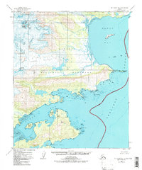
1951 Map of Mount Katmai B-1
USGS Topo · Published 1978About this map
Katmai National Monument defines this 1951 coastal survey, showing a landscape shaped by ice and tide along the Shelikof Strait. The map records a wilderness before its later expansion into a national park, capturing the glacial flow of Hook Glacier and Hallo Glacier as they descend toward the sea. The rugged interior is punctuated by landmarks such as Devils Desk, while the coastline is a complex of deep inlets and tidal flats.
Find a feature on this map
20 named features on this map. Tap any name to fly to it.
Don’t see what you’re looking for? This feature index may not catch every label — zoom into the map to look around manually.
Map Details
Editions of this 1951 Mount Katmai B-1 Map
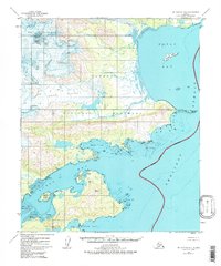
3 editions found
Other maps of this area

1948 · Mt Katmai
USGS Topo · 1:250,000

1951 · Mt Katmai
USGS Topo · 1:250,000

1951 · Afognak C-6
USGS Topo · 1:63,360

1951 · Mount Katmai A-2
USGS Topo · 1:63,360
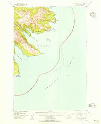
1951 · Mount Katmai A-1
USGS Topo · 1:63,360

1951 · Mount Katmai C-2
USGS Topo · 1:63,360

1951 · Mount Katmai C-1
USGS Topo · 1:63,360

1951 · Mount Katmai B-1
USGS Topo · 1:63,360

1951 · Mount Katmai B-2
USGS Topo · 1:63,360

1952 · Afognak
USGS Topo · 1:250,000