
1954 Map of Afognak B-2
USGS Topo · Published 1955About this map
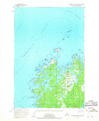
Shuyak Island and the northern reaches of Afognak Island are separated by the intricate waters of Shuyak Strait in this mid-century coastal survey. The map details a landscape defined by deep fjords and maritime navigation, highlighting the importance of protected anchorages like Port William and Port Lawrence on the northern shore. These small coastal outposts, along with scattered Cabins, suggest a remote seasonal economy centered on the region's rich waters.
Find a feature on this map
32 named features on this map. Tap any name to fly to it.
Don’t see what you’re looking for? This feature index may not catch every label — zoom into the map to look around manually.
Map Details
Editions of this 1954 Afognak B-2 Map
This is the sole edition of this map. No revisions or reprints were ever made.
Other maps of this area

1952 · Afognak
USGS Topo · 1:250,000

1952 · Afognak C-1 and C-2
USGS Topo · 1:63,360

1952 · Afognak A-3
USGS Topo · 1:63,360

1952 · Afognak A-1
USGS Topo · 1:63,360

1952 · Afognak A-2
USGS Topo · 1:63,360
1952 · Afognak C-2 and C-3
USGS Topo · 1:63,360

1952 · Afognak B-2
USGS Topo · 1:63,360

1952 · Afognak B-1
USGS Topo · 1:63,360
1953 · Afognak A-1
USGS Topo · 1:63,360

1954 · Afognak B-3
USGS Topo · 1:63,360