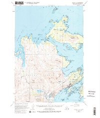
1949 Map of Kodiak D-2
USGS Topo · Published 1980About this map
Kodiak Island's northeastern shoreline and the adjacent Spruce Island are documented here in a detailed late-1940s survey. The maritime character of the region is evident through the numerous coastal features and aviation facilities, including the Ouzinkie Seaplane Base and the Municipal Airport near Kodiak. Significant landform markers such as Barometer Mountain and Pyramid Mountain rise above the complex network of inlets like Anton Larsen Bay and St Paul Harbor.
Find a feature on this map
95 named features on this map. Tap any name to fly to it.
Don’t see what you’re looking for? This feature index may not catch every label — zoom into the map to look around manually.
Map Details
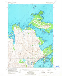
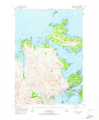
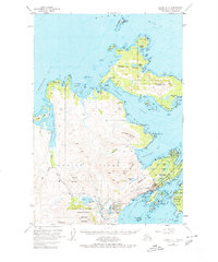
Editions of this 1949 Kodiak D-2 Map
5 editions found
Other maps of this area

1947 · Kodiak D-3
USGS Topo · 1:63,360

1949 · Kodiak C-2
USGS Topo · 1:63,360

1949 · Kodiak D-2
USGS Topo · 1:63,360

1949 · Kodiak D-3
USGS Topo · 1:63,360

1949 · Kodiak C-1
USGS Topo · 1:63,360

1949 · Kodiak D-1
USGS Topo · 1:63,360

1950 · Kodiak D-3
USGS Topo · 1:63,360

1951 · Kodiak D-1
USGS Topo · 1:63,360

1951 · Kodiak D-2
USGS Topo · 1:63,360

1951 · Kodiak C-1
USGS Topo · 1:63,360