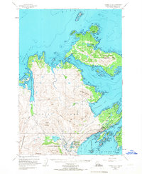
1949 Map of Kodiak D-2
USGS Topo · Published 1966About this map
Kodiak Island and its northern neighbors appear at a time of significant transition between post-war military presence and local coastal industry. The northern reaches of the sheet are dominated by Spruce Island, home to the settlement of Uzinki and the high point of Mount Herman. The intricate coastline of Narrow Strait and Marmot Bay reveals a landscape defined by maritime navigation, with features like Three Brothers Light and Otmeloi Light marking the passage for vessels.
Find a feature on this map
90 named features on this map. Tap any name to fly to it.
Don’t see what you’re looking for? This feature index may not catch every label — zoom into the map to look around manually.
Map Details
Editions of this 1949 Kodiak D-2 Map
5 editions found
Other maps of this area

1947 · Kodiak D-3
USGS Topo · 1:63,360

1949 · Kodiak C-2
USGS Topo · 1:63,360

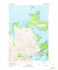
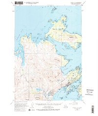
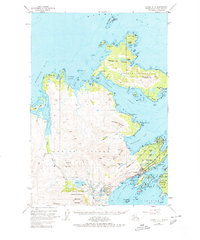
1949 · Kodiak D-2
USGS Topo · 1:63,360

1949 · Kodiak D-3
USGS Topo · 1:63,360

1949 · Kodiak C-1
USGS Topo · 1:63,360

1949 · Kodiak D-1
USGS Topo · 1:63,360

1950 · Kodiak D-3
USGS Topo · 1:63,360

1951 · Kodiak D-1
USGS Topo · 1:63,360

1951 · Kodiak D-2
USGS Topo · 1:63,360

1951 · Kodiak C-1
USGS Topo · 1:63,360