
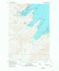
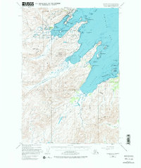
1949 Map of Kodiak C-2
USGS Topo · Published 1953About this map
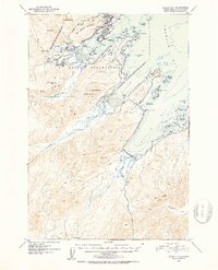
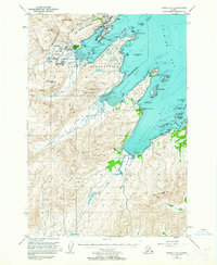
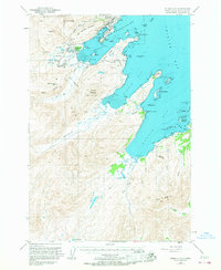
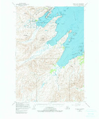
The U S Naval Reservation dominates this 1949 topographic survey of Kodiak Island, reflecting the significant military presence in the post-war era. Strategically positioned along Women Bay, the infrastructure includes a Military Airport and a Military Seaplane Base near the small settlements of Blodgett, English, and Shannon. The rugged coastal geography is defined by deep inlets like Chiniak Bay and Kalsin Bay, separated by sharp ridges such as Zaimka Ridge and the Salonie Range.
Find a feature on this map
65 named features on this map. Tap any name to fly to it.
Don’t see what you’re looking for? This feature index may not catch every label — zoom into the map to look around manually.
Map Details
Editions of this 1949 Kodiak C-2 Map
7 editions found
Other maps of this area

1947 · Kodiak D-3
USGS Topo · 1:63,360

1949 · Kodiak B-1 and B-2
USGS Topo · 1:63,360

1949 · Kodiak D-2
USGS Topo · 1:63,360

1949 · Kodiak D-3
USGS Topo · 1:63,360

1949 · Kodiak C-1
USGS Topo · 1:63,360

1949 · Kodiak B-3
USGS Topo · 1:63,360

1949 · Kodiak D-1
USGS Topo · 1:63,360

1950 · Kodiak B-3
USGS Topo · 1:63,360

1950 · Kodiak D-3
USGS Topo · 1:63,360

1951 · Kodiak D-1
USGS Topo · 1:63,360