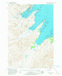
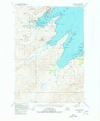
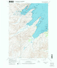
1949 Map of Kodiak C-2
USGS Topo · Published 1967About this map
The U S Naval Reservation dominates the northern reaches of this coastal landscape, indicating the heavy military footprint on Kodiak Island following World War II. Operational centers such as the Military Airport, Military Seaplane Base, and the Chiniak Swa Base are clustered along the jagged shoreline of Womens Bay. This strategic infrastructure is supported by terrestrial routes like Burma Road and River Road, which carve through the foothills of Old Womens Mountain.
Find a feature on this map
73 named features on this map. Tap any name to fly to it.
Don’t see what you’re looking for? This feature index may not catch every label — zoom into the map to look around manually.
Map Details
Editions of this 1949 Kodiak C-2 Map
7 editions found
Other maps of this area

1947 · Kodiak D-3
USGS Topo · 1:63,360

1949 · Kodiak C-2
USGS Topo · 1:63,360

1949 · Kodiak B-1 and B-2
USGS Topo · 1:63,360

1949 · Kodiak D-2
USGS Topo · 1:63,360

1949 · Kodiak D-3
USGS Topo · 1:63,360

1949 · Kodiak C-1
USGS Topo · 1:63,360

1949 · Kodiak B-3
USGS Topo · 1:63,360

1949 · Kodiak D-1
USGS Topo · 1:63,360

1950 · Kodiak B-3
USGS Topo · 1:63,360

1950 · Kodiak D-3
USGS Topo · 1:63,360