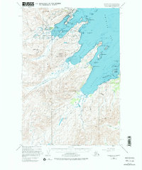
1949 Map of Kodiak C-2
USGS Topo · Published 1984About this map
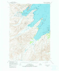
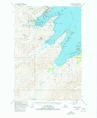
The U S Coast Guard Res occupies a prominent position on the northern coast of Kodiak Island, overlooking the strategic waters of Women Bay and Chiniak Bay. This mid-century survey documents the coastal topography and interior drainage systems of the region, where the Kodiak Island Highway skirts the rugged shoreline to connect the Nyman Peninsula with the southern reaches of Kalsin Bay. The landscape is defined by its deep fjords and the high peaks of the Salonie Range and Marin Range.
Find a feature on this map
62 named features on this map. Tap any name to fly to it.
Don’t see what you’re looking for? This feature index may not catch every label — zoom into the map to look around manually.
Map Details
Editions of this 1949 Kodiak C-2 Map
7 editions found
Other maps of this area

1947 · Kodiak D-3
USGS Topo · 1:63,360

1949 · Kodiak C-2
USGS Topo · 1:63,360

1949 · Kodiak B-1 and B-2
USGS Topo · 1:63,360

1949 · Kodiak D-2
USGS Topo · 1:63,360

1949 · Kodiak D-3
USGS Topo · 1:63,360

1949 · Kodiak C-1
USGS Topo · 1:63,360

1949 · Kodiak B-3
USGS Topo · 1:63,360

1949 · Kodiak D-1
USGS Topo · 1:63,360

1950 · Kodiak B-3
USGS Topo · 1:63,360

1950 · Kodiak D-3
USGS Topo · 1:63,360