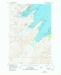
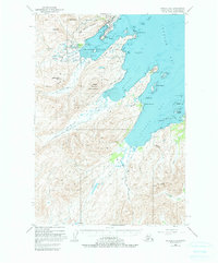
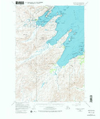
1949 Map of Kodiak C-2
USGS Topo · Published 1980About this map
Military infrastructure dominates the northeast coastline of Kodiak Island in the years following World War II. The US Coast Guard Res occupies a significant portion of the peninsula between Womens Bay and Middle Bay, supported by the Military Airport and specialized facilities like the Chiniak Seaplane Base. The landscape is a complex network of coastal inlets and mountainous terrain, where the Salonie Range and peaks such as Heitman Mountain rise sharply from the water’s edge. Inland, the connectivity of the era is defined by the Burma Road and the Kodiak Highway, which navigate the low-lying Bell Flats. This survey captures the transition of the region into a critical strategic outpost, evidenced by the numerous gaging stations and military installations that coexist with the natural drainage of the American River and Olds River.
Find a feature on this map
63 named features on this map. Tap any name to fly to it.
Don’t see what you’re looking for? This feature index may not catch every label — zoom into the map to look around manually.
Map Details
Editions of this 1949 Kodiak C-2 Map
7 editions found
Other maps of this area

1947 · Kodiak D-3
USGS Topo · 1:63,360

1949 · Kodiak C-2
USGS Topo · 1:63,360

1949 · Kodiak B-1 and B-2
USGS Topo · 1:63,360

1949 · Kodiak D-2
USGS Topo · 1:63,360

1949 · Kodiak D-3
USGS Topo · 1:63,360

1949 · Kodiak C-1
USGS Topo · 1:63,360

1949 · Kodiak B-3
USGS Topo · 1:63,360

1949 · Kodiak D-1
USGS Topo · 1:63,360

1950 · Kodiak B-3
USGS Topo · 1:63,360

1950 · Kodiak D-3
USGS Topo · 1:63,360