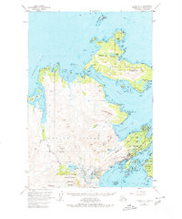
1949 Map of Kodiak D-2
USGS Topo · Published 1980About this map
Kodiak Island and its maritime neighbors appear in detail just after the war, showing the area as a critical hub of Alaskan coastal activity. The town of Kodiak serves as the focal point, situated across from Woody Island and near the US Coast Guard Reservation. The landscape is dominated by steep summits such as Pyramid Mountain, Barometer Mountain, and Erskine Mtn, which overlook a complex network of bays and narrows. On Spruce Island to the north, the settlement of Ouzinkie sits nestled along the Ouzinkie Narrows, near the historical Elvoi Mission (Site). Coastal infrastructure is evident through the Municipal Airport, several radio towers, and the Three Brothers Light, while the Fort Abercrombie State Historic Site marks the shoreline at Spruce Cape. This survey captures the vital intersection of military presence, aviation growth, and traditional island settlements during the mid-century.
Find a feature on this map
104 named features on this map. Tap any name to fly to it.
Don’t see what you’re looking for? This feature index may not catch every label — zoom into the map to look around manually.
Map Details
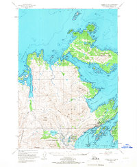
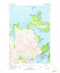
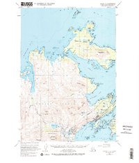
Editions of this 1949 Kodiak D-2 Map
5 editions found
Other maps of this area

1947 · Kodiak D-3
USGS Topo · 1:63,360

1949 · Kodiak C-2
USGS Topo · 1:63,360

1949 · Kodiak D-2
USGS Topo · 1:63,360

1949 · Kodiak D-3
USGS Topo · 1:63,360

1949 · Kodiak C-1
USGS Topo · 1:63,360

1949 · Kodiak D-1
USGS Topo · 1:63,360

1950 · Kodiak D-3
USGS Topo · 1:63,360

1951 · Kodiak D-1
USGS Topo · 1:63,360

1951 · Kodiak D-2
USGS Topo · 1:63,360

1951 · Kodiak C-1
USGS Topo · 1:63,360