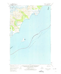
1951 Map of Afognak C-5
USGS Topo · Published 1974About this map
Katmai National Monument dominates the northwestern coastline of this 1951 survey, where the terrestrial topography of the Kenai Peninsula Borough meets the expanse of the Shelikof Strait. The map highlights a coastal transition zone defined by extensive Tidal Flats and significant survey markers like VABM 670 Dark. The marine environment is characterized by the isolated Kiukpalik Island, situated within the strait several miles from the mainland shore.
Find a feature on this map
7 named features on this map. Tap any name to fly to it.
Don’t see what you’re looking for? This feature index may not catch every label — zoom into the map to look around manually.
Map Details
Editions of this 1951 Afognak C-5 Map
2 editions found
Other maps of this area

1951 · Afognak C-6
USGS Topo · 1:63,360
1951 · Afognak C-5
USGS Topo · 1:63,360
1951 · Afognak D-4
USGS Topo · 1:63,360

1951 · Afognak D-5
USGS Topo · 1:63,360

1951 · Afognak D-6
USGS Topo · 1:63,360

1952 · Afognak
USGS Topo · 1:250,000
1952 · Afognak B-4
USGS Topo · 1:63,360
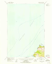
1954 · Afognak B-4
USGS Topo · 1:63,360
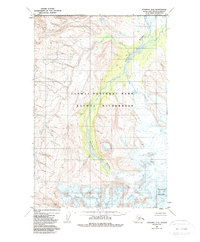
1983 · Afognak D-6
USGS Topo · 1:63,360
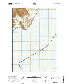
2019 · Afognak C-5 NE
USGS Topo · 1:25,000